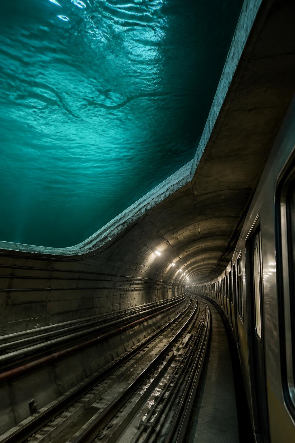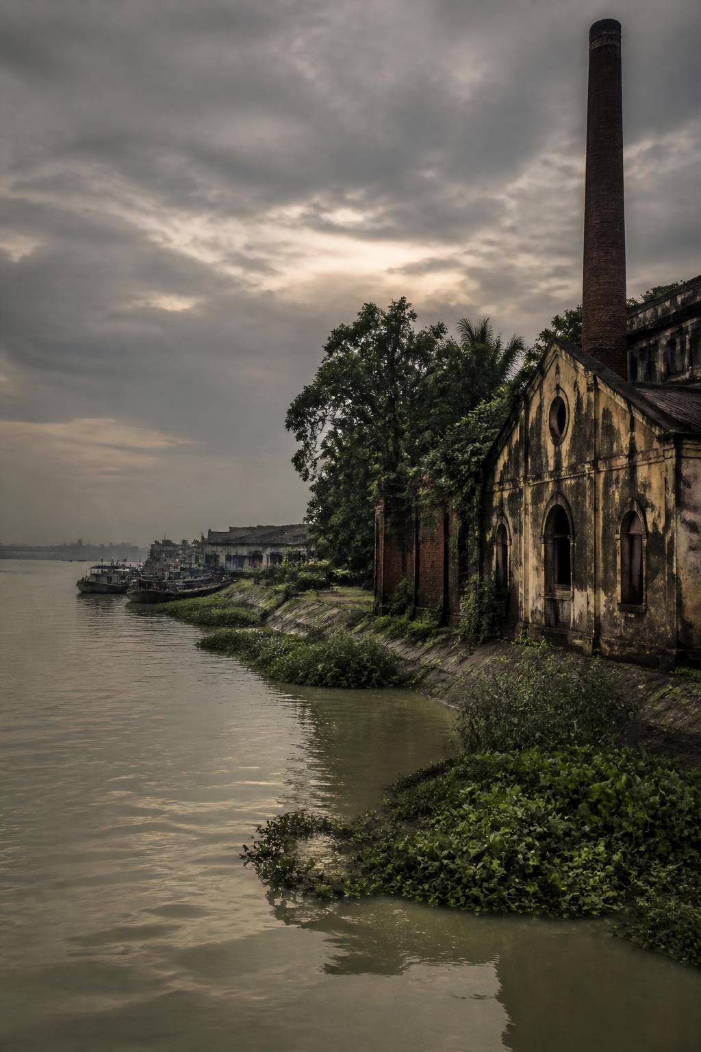
Kolkata’s underwater Metro began as a paper plan
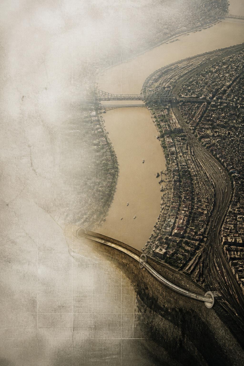
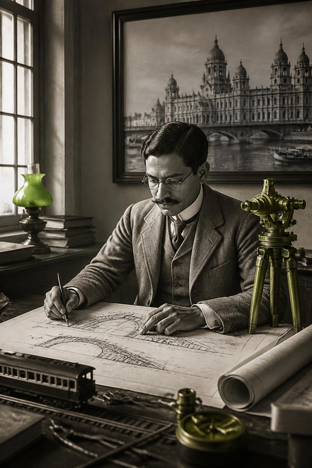
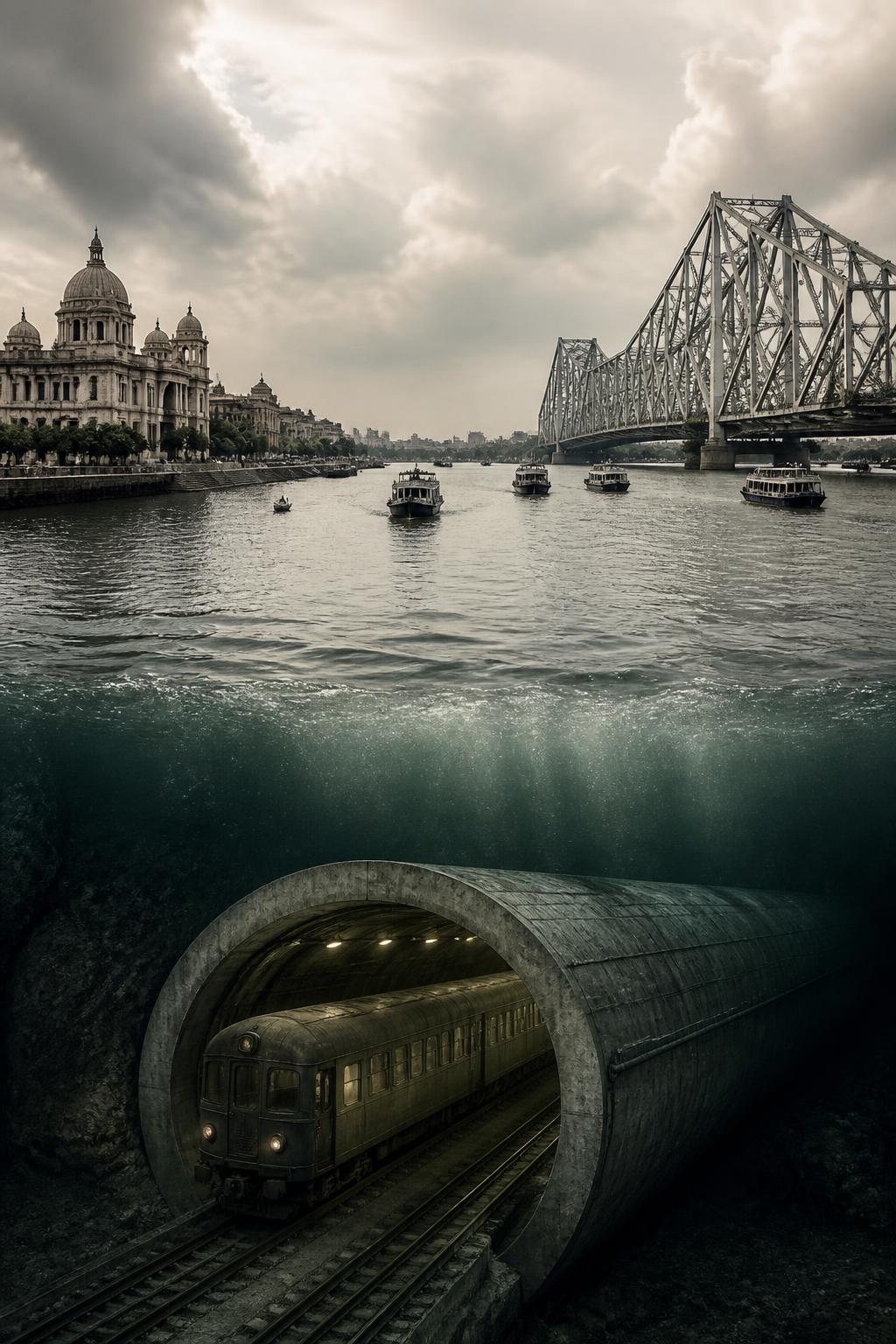
The story starts not with the modern Green Line, but with an investigation launched during British rule. In September 1919, the Imperial Legislative Council initiated an inquiry into a tube railway for Calcutta. By 1921, engineer Harley Hugh Dalrymple-Hay had turned that inquiry into a detailed East–West Tube Railway scheme. Its central proposition was bold: connect railway systems on opposite sides of the Hooghly through an underground route. The line was not a vague futuristic sketch. It had a proposed alignment, an estimated construction period and a projected cost. But the plan remained a proposal. The railway beneath the river was never constructed.
It would have linked Bagmari with Howrah
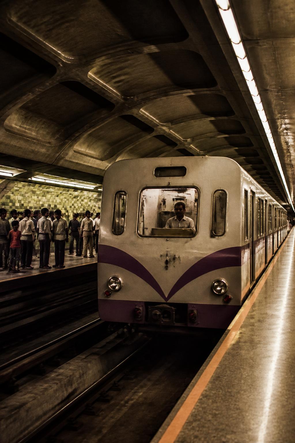
Dalrymple-Hay’s proposed railway was designed to connect the Calcutta-side railway near Bagmari with the East Indian Railway near Benares Road in Howrah. The route would pass beneath the Hooghly, creating an East–West link between two railway systems and the city’s business district. That alignment is what makes the 1921 scheme feel so familiar beside today’s Metro map: the old proposal and the modern corridor share the image of Kolkata joined to Howrah below the river. The resemblance should not be overstated. The 1921 railway was never built, and the present East–West Metro is a later, independently developed project. Still, the basic urban challenge—connecting both banks through a river crossing—appeared in the earlier plan with remarkable clarity.