The night the Musi changed Hyderabad
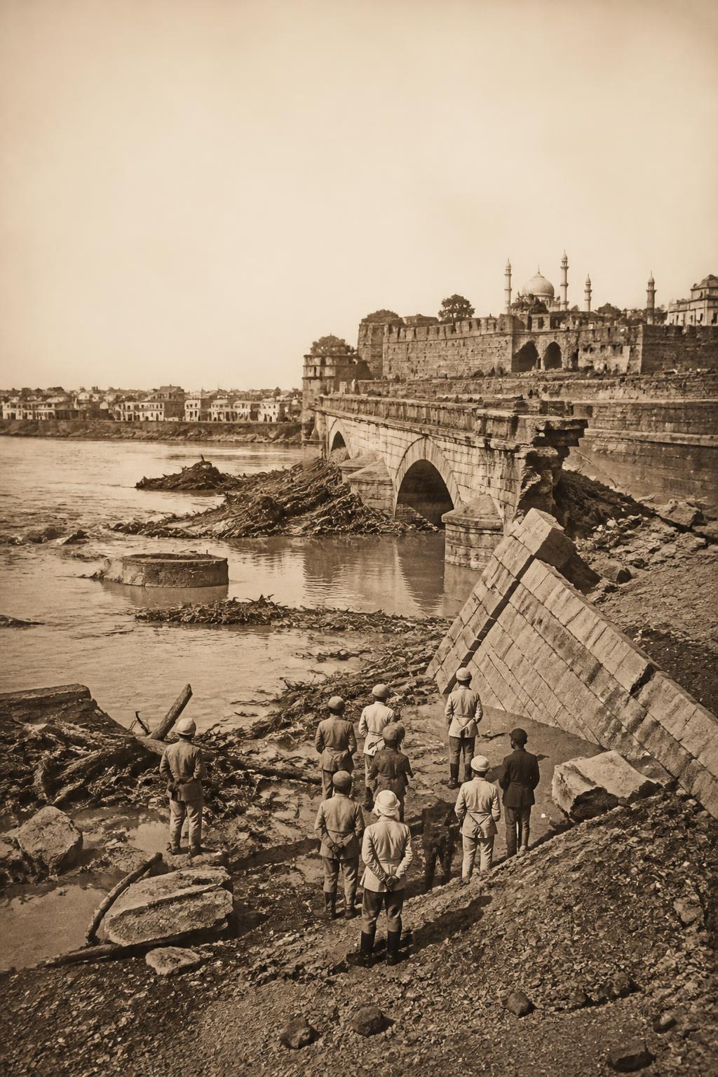
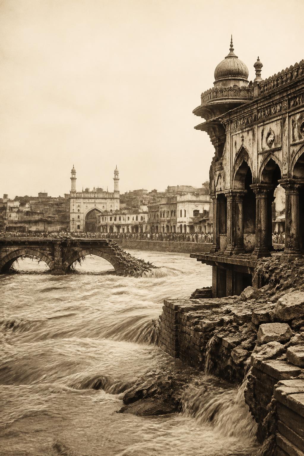
On September 28, 1908, incessant rain sent the Musi River through Hyderabad with devastating force. The British Library’s Hyderabad Flood Album records the scale of the destruction: more than 18,000 houses were washed away, while bridges, city walls, streets and neighbourhoods were damaged. Its 83 prints, produced by Lala Deen Dayal & Sons, preserve a city confronting a disaster that was both human and infrastructural. The flood did not simply leave isolated damage. It exposed how vulnerable Hyderabad’s streets, riverfront and drainage systems were when the Musi rose.
A city documented in ruins
The flood’s aftermath survives not only in written accounts but in images of ruined neighbourhoods, breached walls, damaged bridges and streets overwhelmed by water. Those photographs made the disaster visible as a citywide breakdown rather than a single river event. The record of more than 18,000 houses destroyed gives the catastrophe a measurable scale, while the album’s views show how many parts of Hyderabad were affected. Together, they explain why the response became larger than repair: the city had to understand its layout, its watercourses and its infrastructure in a new way.
Then Hyderabad began mapping itself
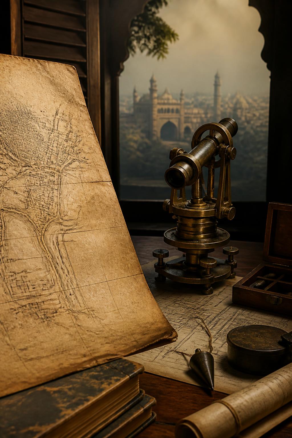
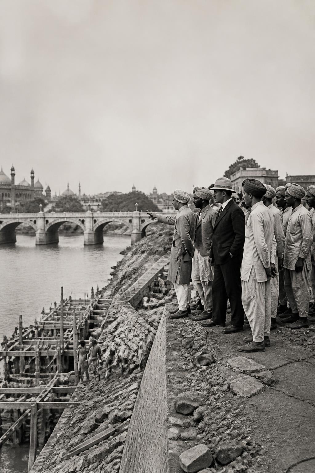
Municipal maps produced between 1912 and 1915 were prompted by the devastation of 1908. They recorded streets, landmarks and residents, creating an unusually detailed visual account of Hyderabad at a moment of change. The survey supported the City Improvement Board’s wider programme, which linked river-bank improvements with bridges, housing, roads, sewerage and storm-water drainage. In that sense, the maps were not merely records of the old city. They were tools for planning a different one—one in which the flood’s lessons could be translated into a more coordinated urban framework.