Pune’s buried river was infrastructure, not folklore
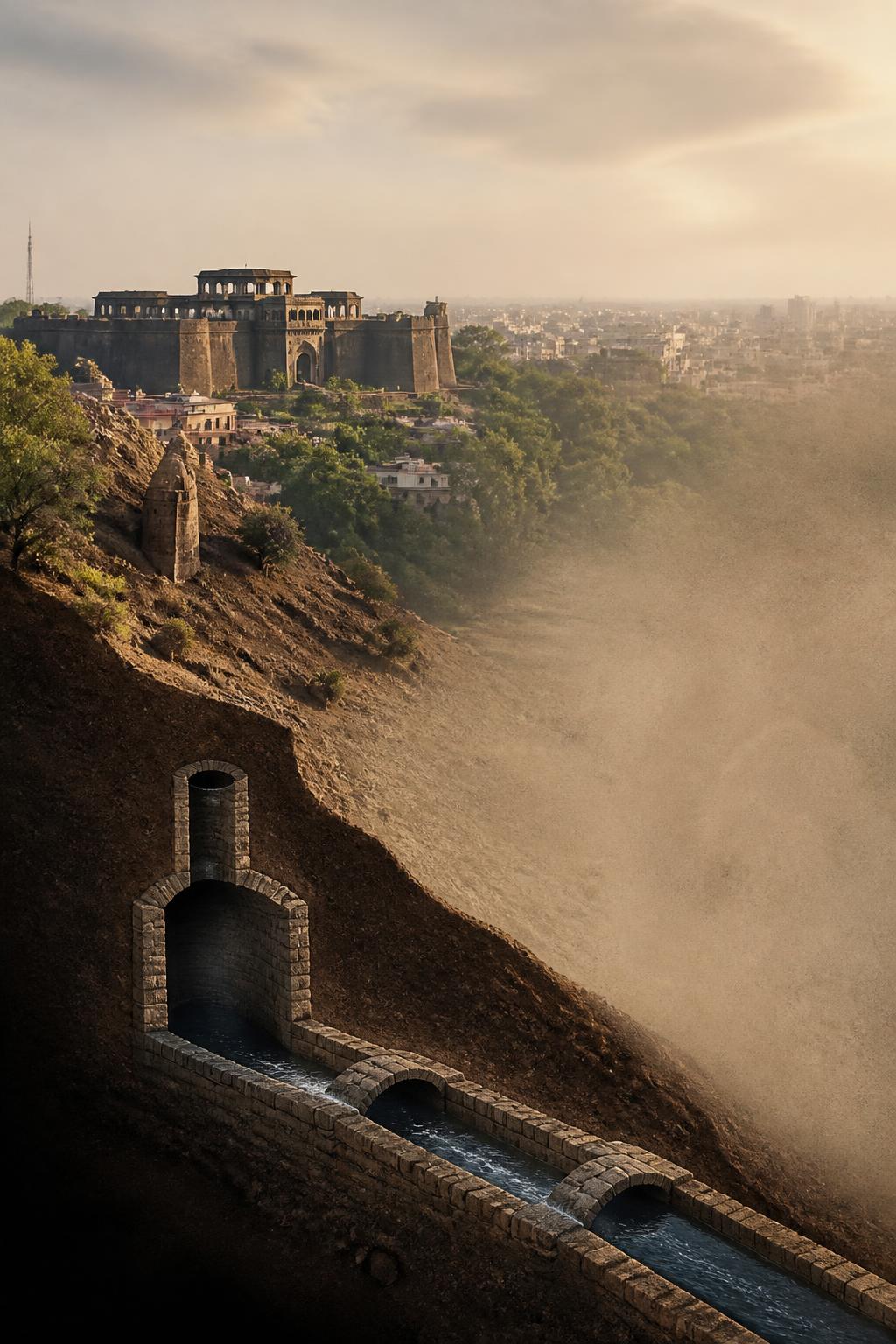
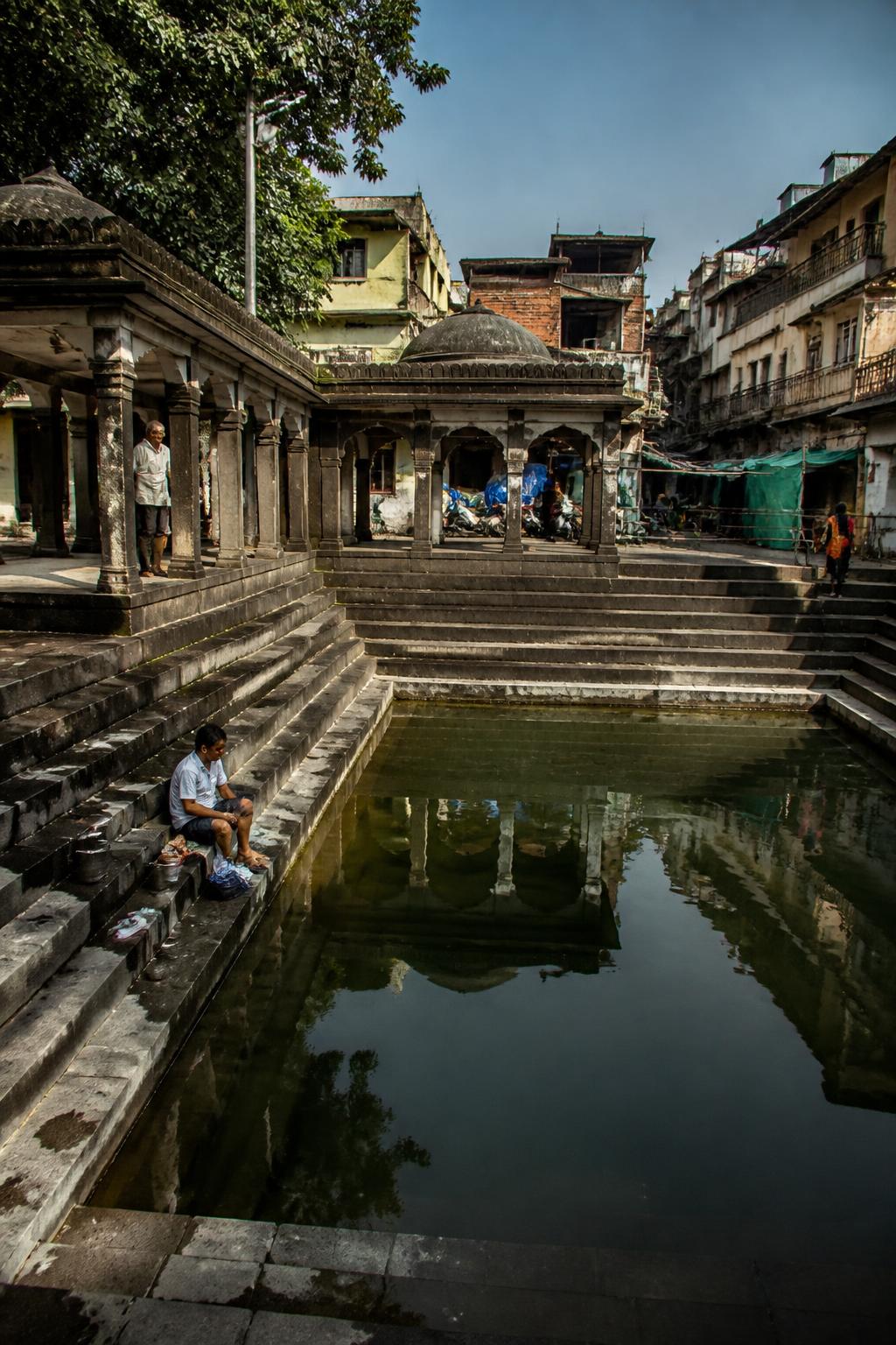
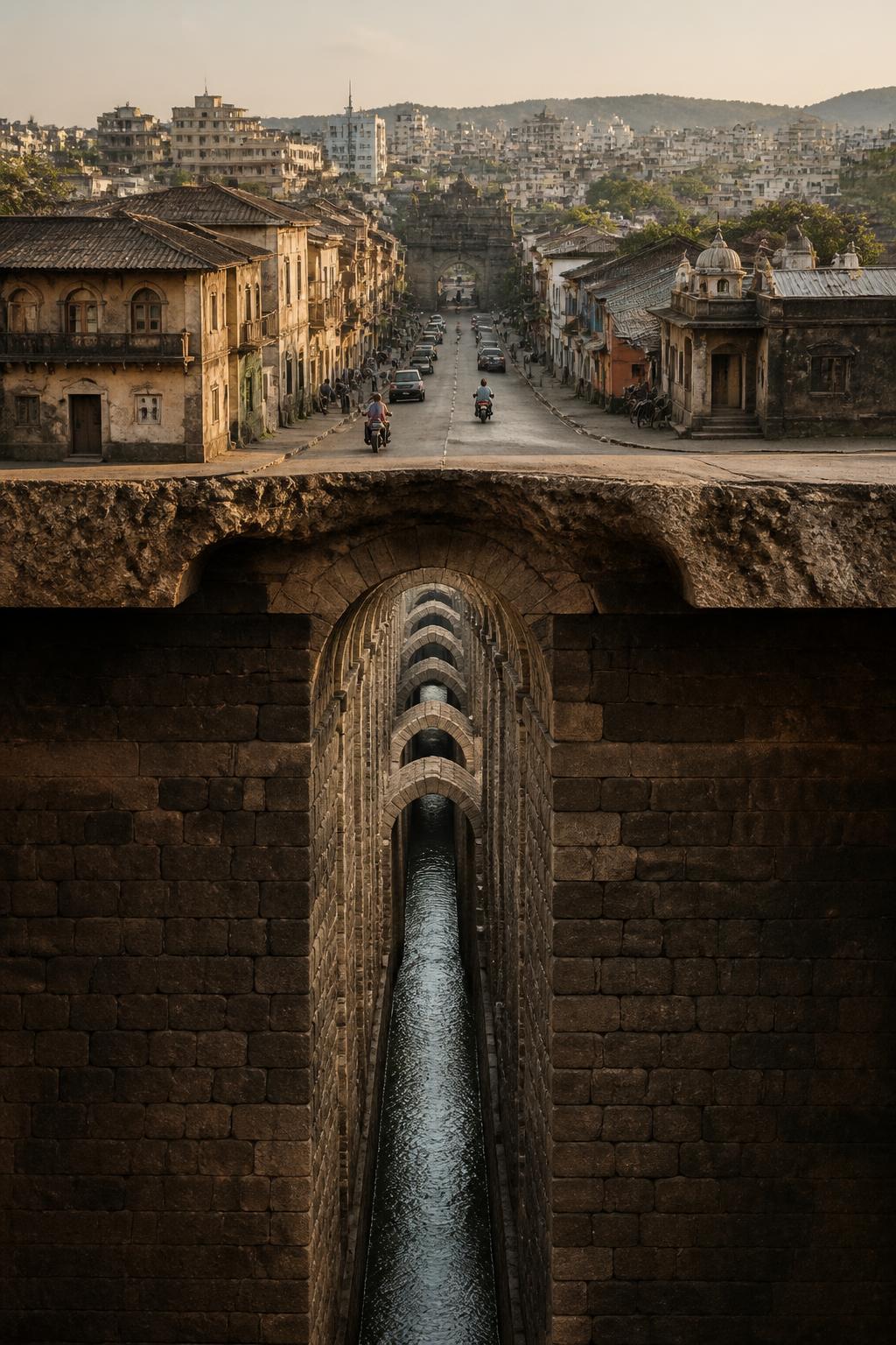
The places are familiar on their own: Katraj, Shaniwar Wada and the old peths. Their older connection is less visible. Beneath the city was a water network extending more than 20 km through the old peth area, with underground channels, reservoirs, cisterns, hauds and maintenance shafts. It was an engineered system designed to move drinking water across the Peshwa capital. Over time, newer municipal systems displaced it, while urbanisation damaged or buried many of its components. Yet parts survived, leaving a second Pune beneath the one seen from the street.
It began with two dams at Katraj
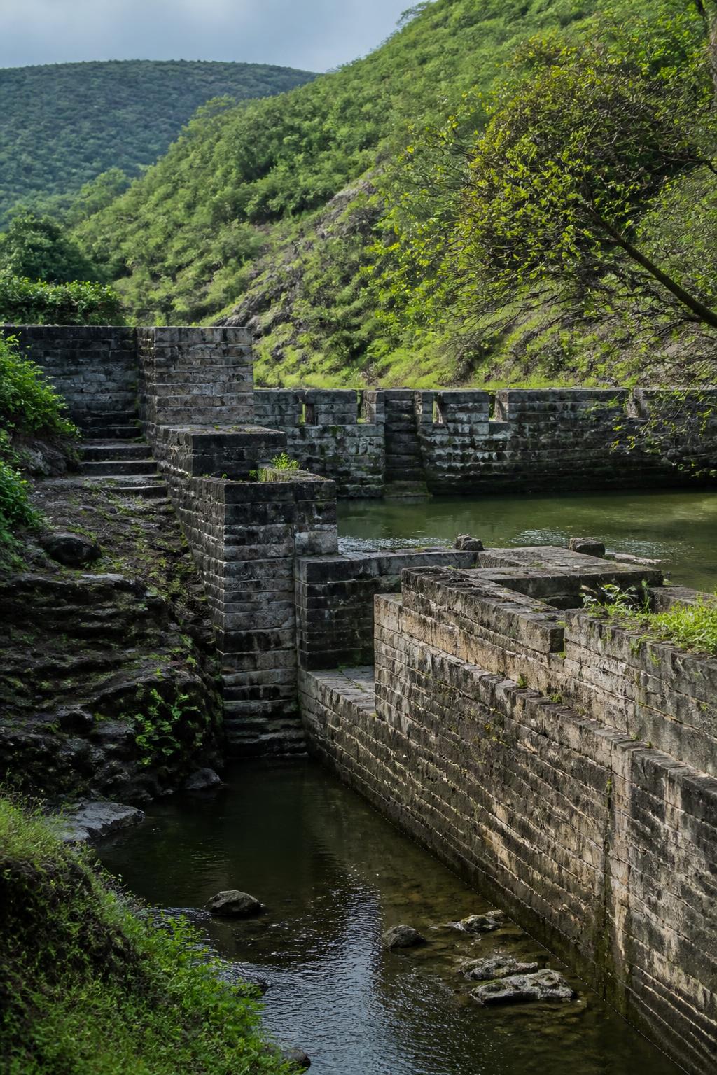
Around 1750, Nanasaheb Peshwa commissioned two stone masonry dams at Katraj. They collected runoff and spring water before feeding the aqueduct that led toward Pune’s old city. The route was not powered by pumps: engineers used Pune’s natural gradient, allowing water to travel north by gravity toward Shaniwar Wada and the surrounding peths. That decision connected the city’s landscape to its water supply. Katraj was not simply a lake or a distant landmark; it was the beginning of a system that carried water into the expanding Peshwa-era capital.
A tunnel narrow enough to feel hidden
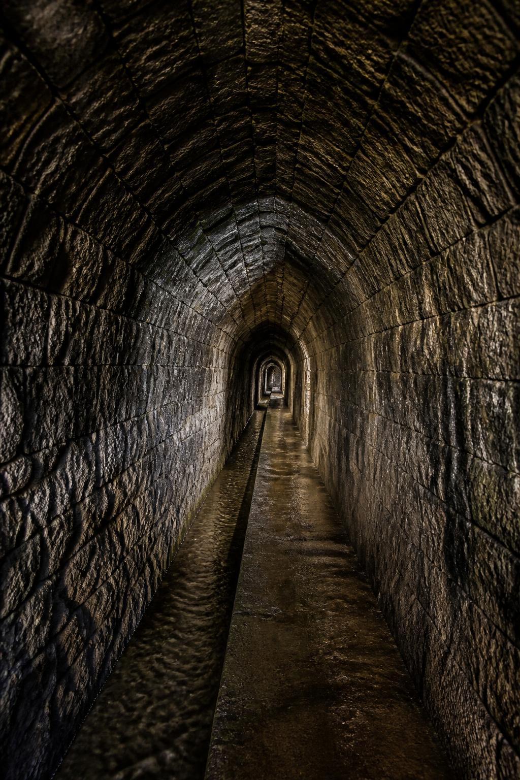
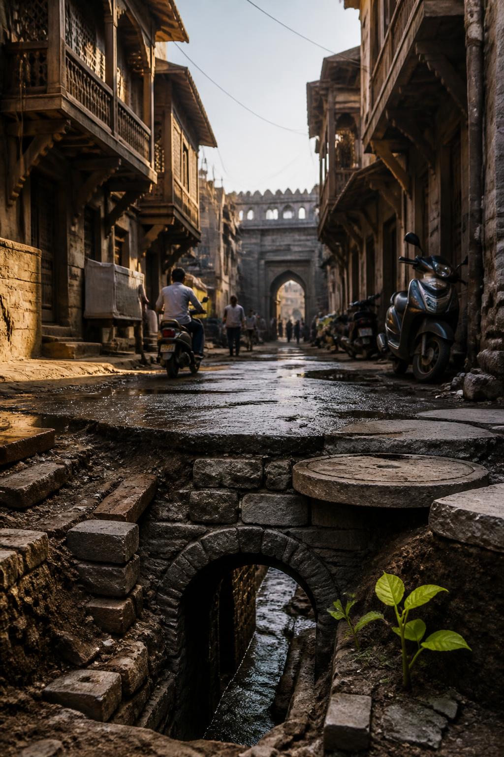
The aqueduct was an arched masonry tunnel approximately 2–3 metres below ground. It was about 80 centimetres wide and 2 metres high—narrow, but described as walkable. Its form made the network both functional and difficult to see from above. Water moved through the underground channel by gravity, while maintenance shafts provided access along the route. The Katraj aqueduct alone is described as supplying nearly 25 lakh litres daily during its active period. Below the streets, the system combined a modest slope with carefully built stone infrastructure to move a substantial volume of water.