Pune’s streets were built over a water network
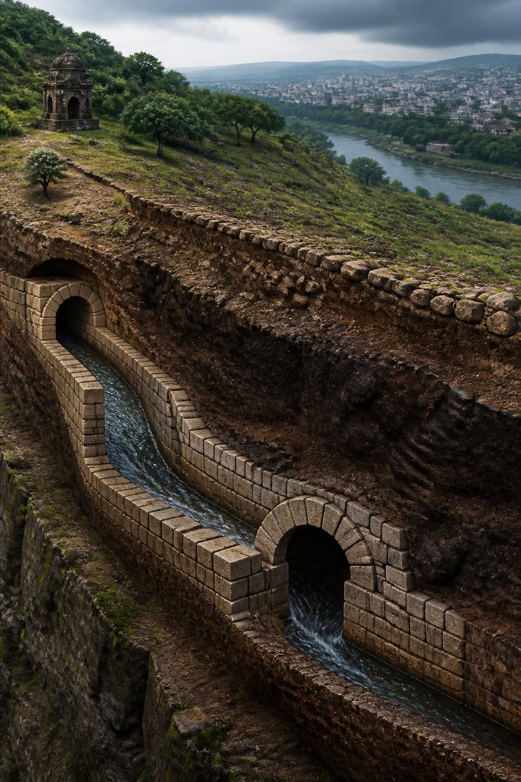
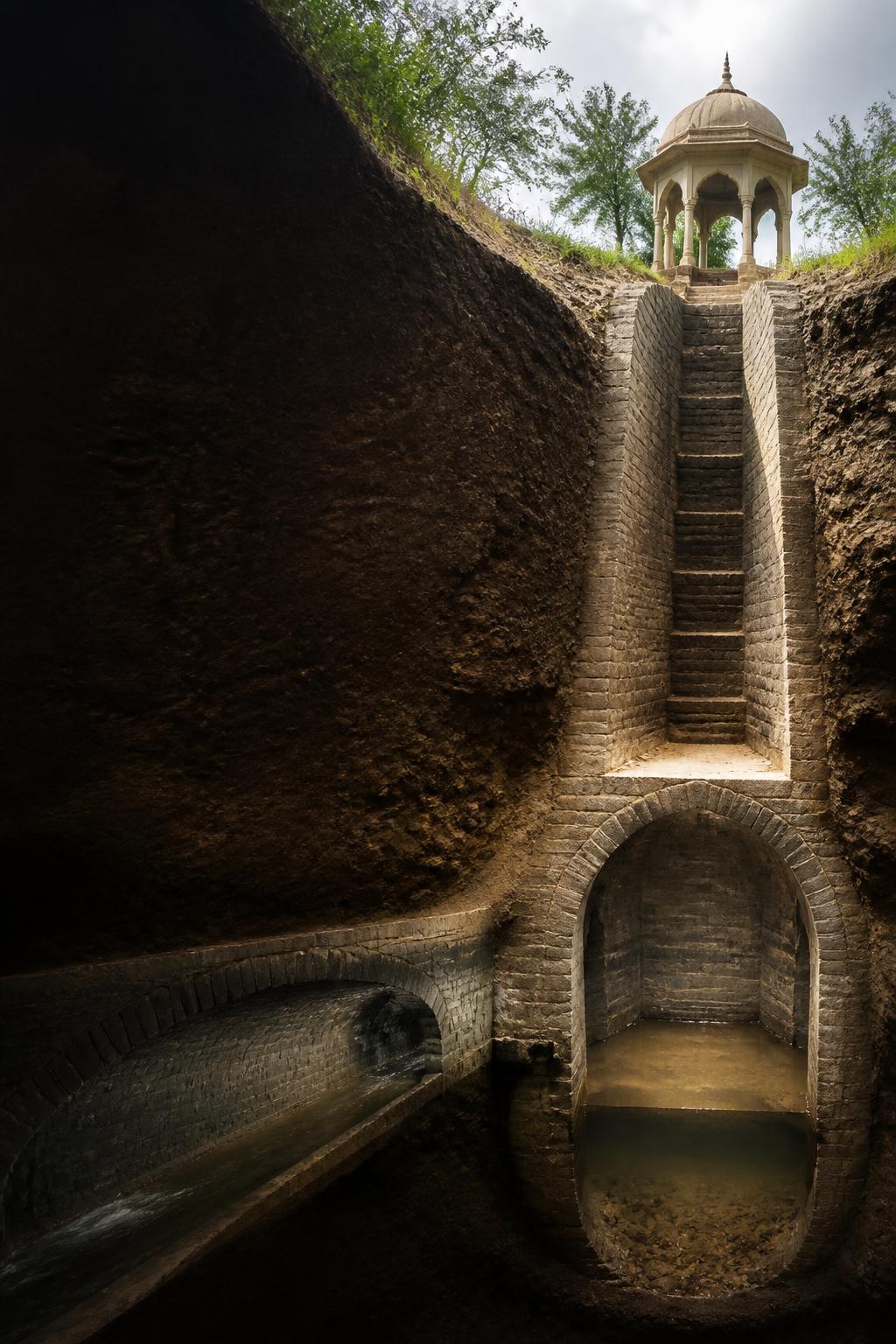
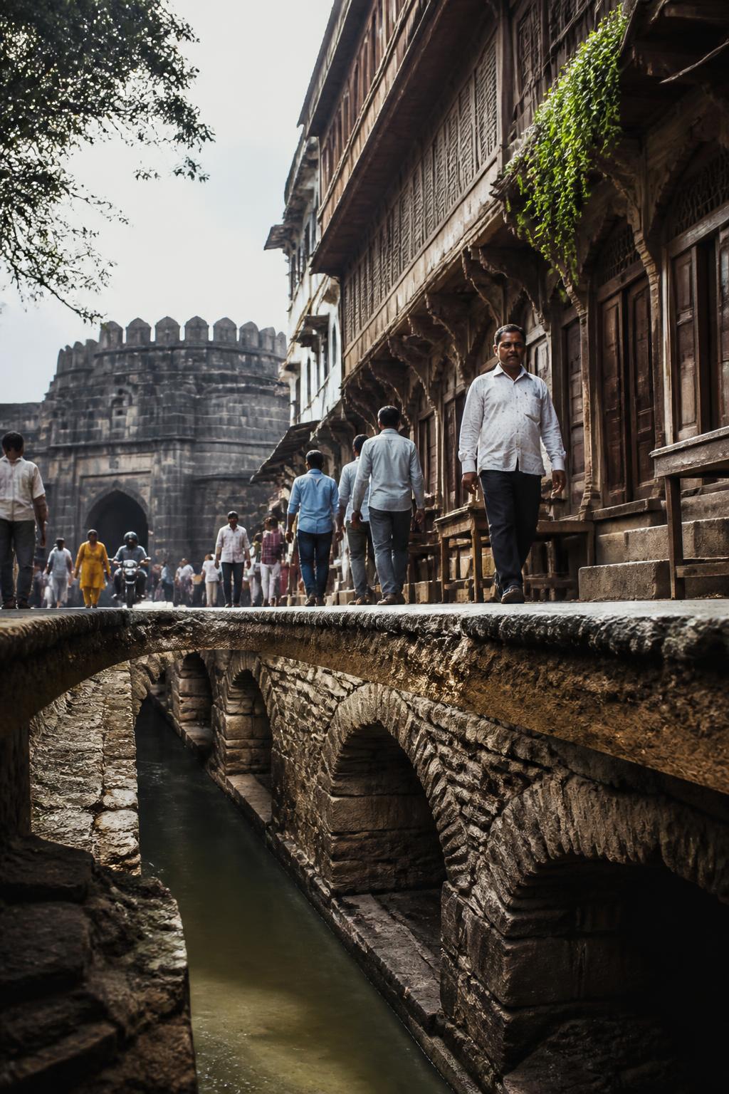
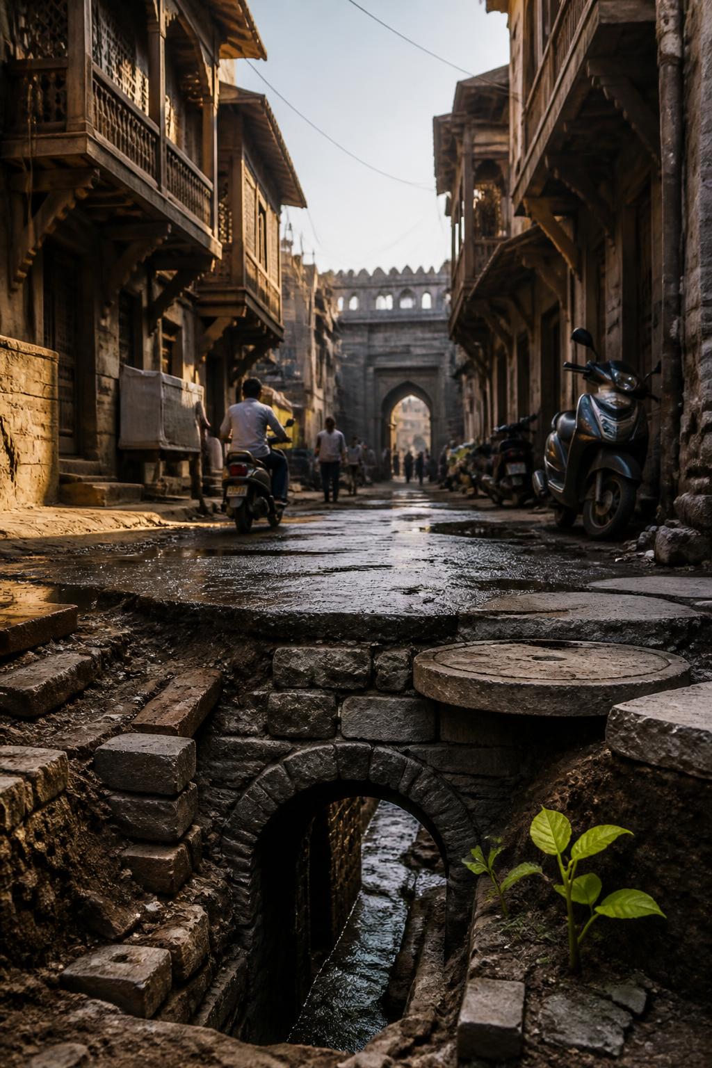
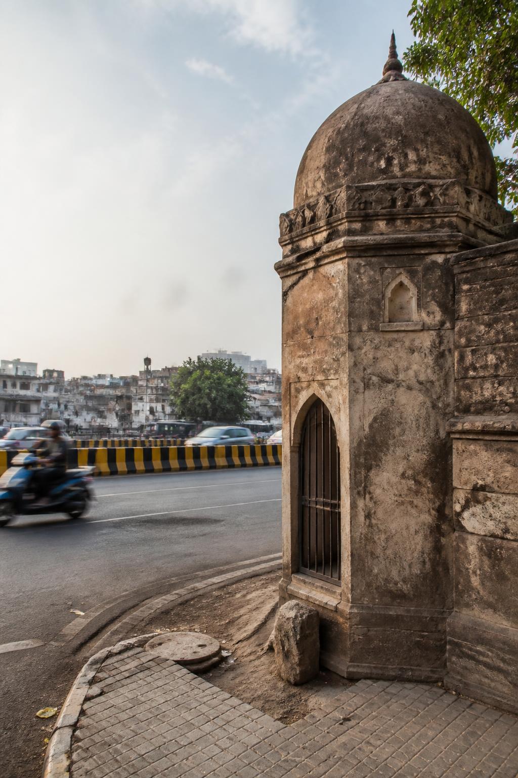
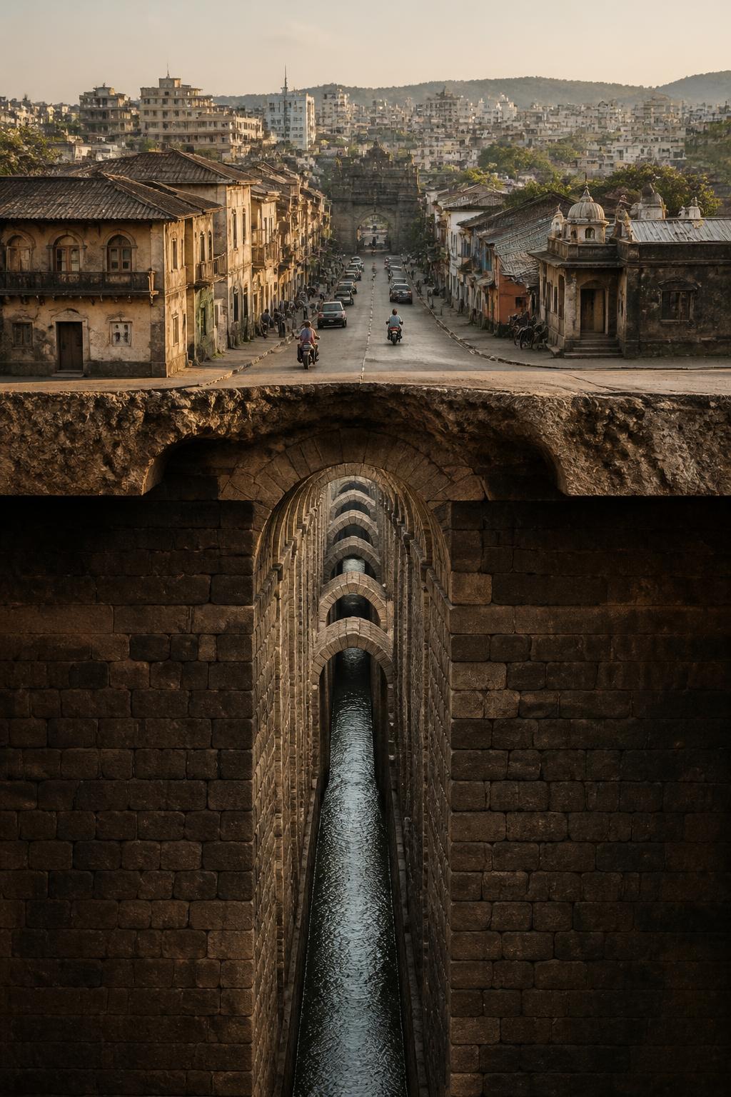
Katraj Lake and Shaniwar Wada are familiar Pune landmarks. What is easier to miss is that they were once linked by engineered infrastructure beneath the city. The wider Peshwa-era system extended for more than 20 km through Pune’s old city and included aqueducts, masonry pipes, wells, cisterns and more than 200 outlets. It was not a single channel disappearing under one road, but a connected supply network laid across the city’s peths and neighbourhoods. The result is a striking change in perspective: ordinary streets sit above the remains of a system designed to move drinking water through the historic city.
It began with two dams at Katraj
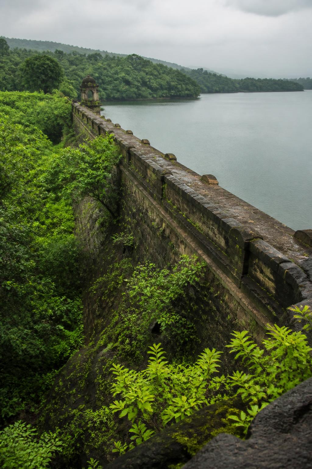
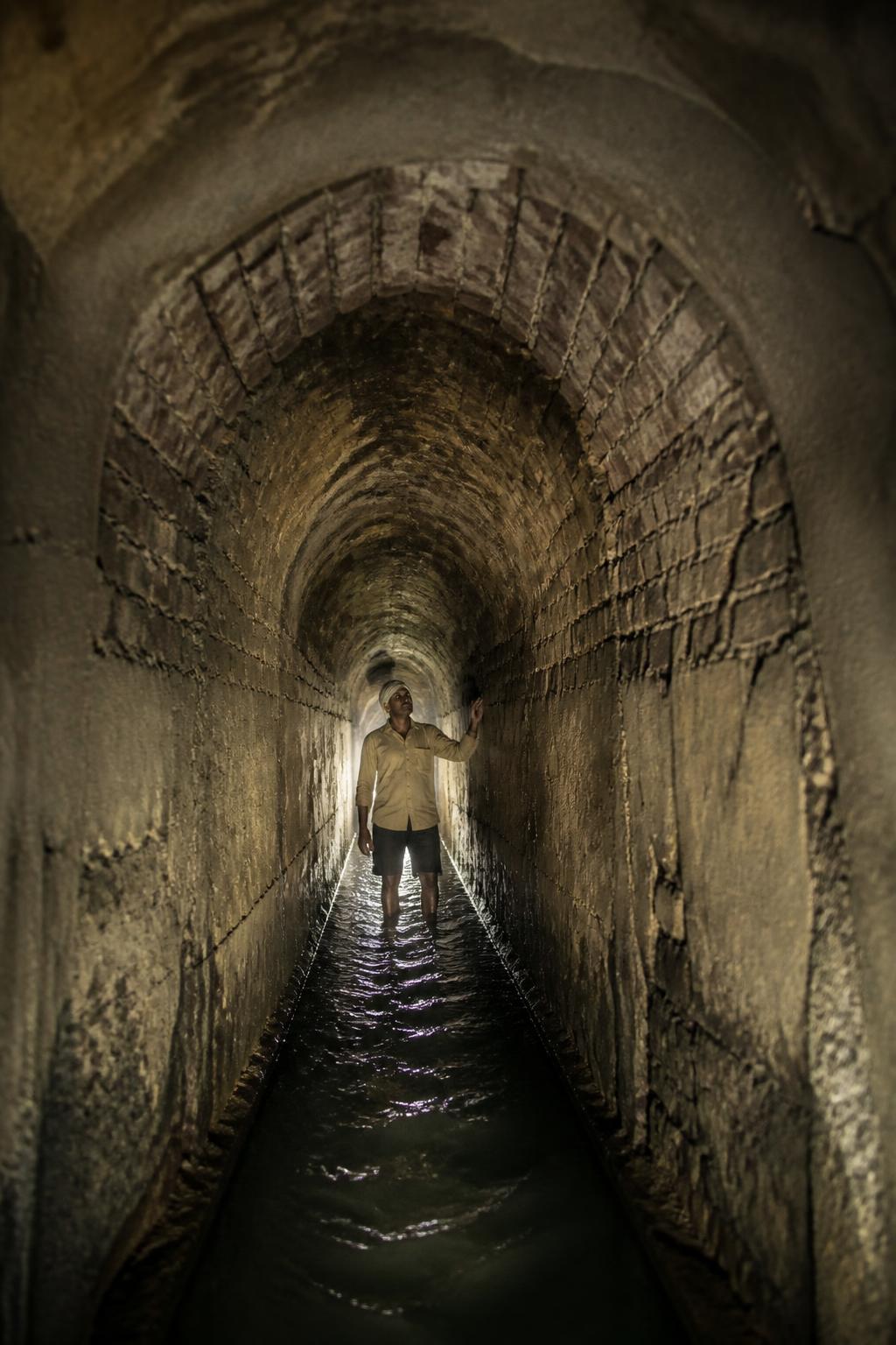
Around 1750, Nanasaheb Peshwa commissioned two masonry dams at Katraj to collect runoff and spring water for Pune’s supply. The arrangement also helped water pass from one tank to another, allowing silt to settle before the flow continued toward the city. From Katraj, the route headed north through an underground arched aqueduct. The Katraj aqueduct is described as more than four miles long, while the broader network reached more than 20 km. Its estimated capacity was substantial: the Living Waters Museum says the aqueduct could provide nearly 25 lakh litres of water to the city daily.