A city’s water journey began at Katraj
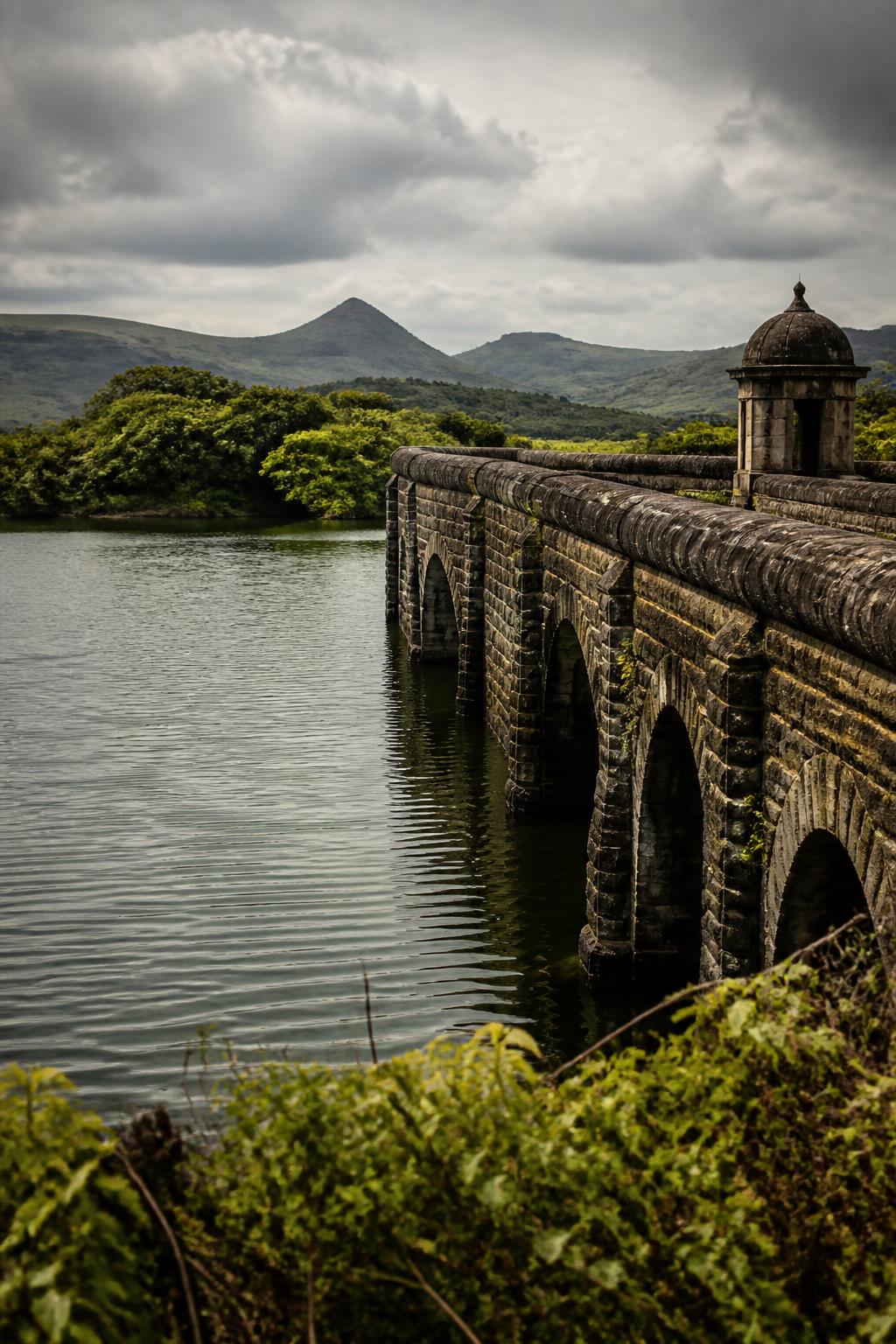
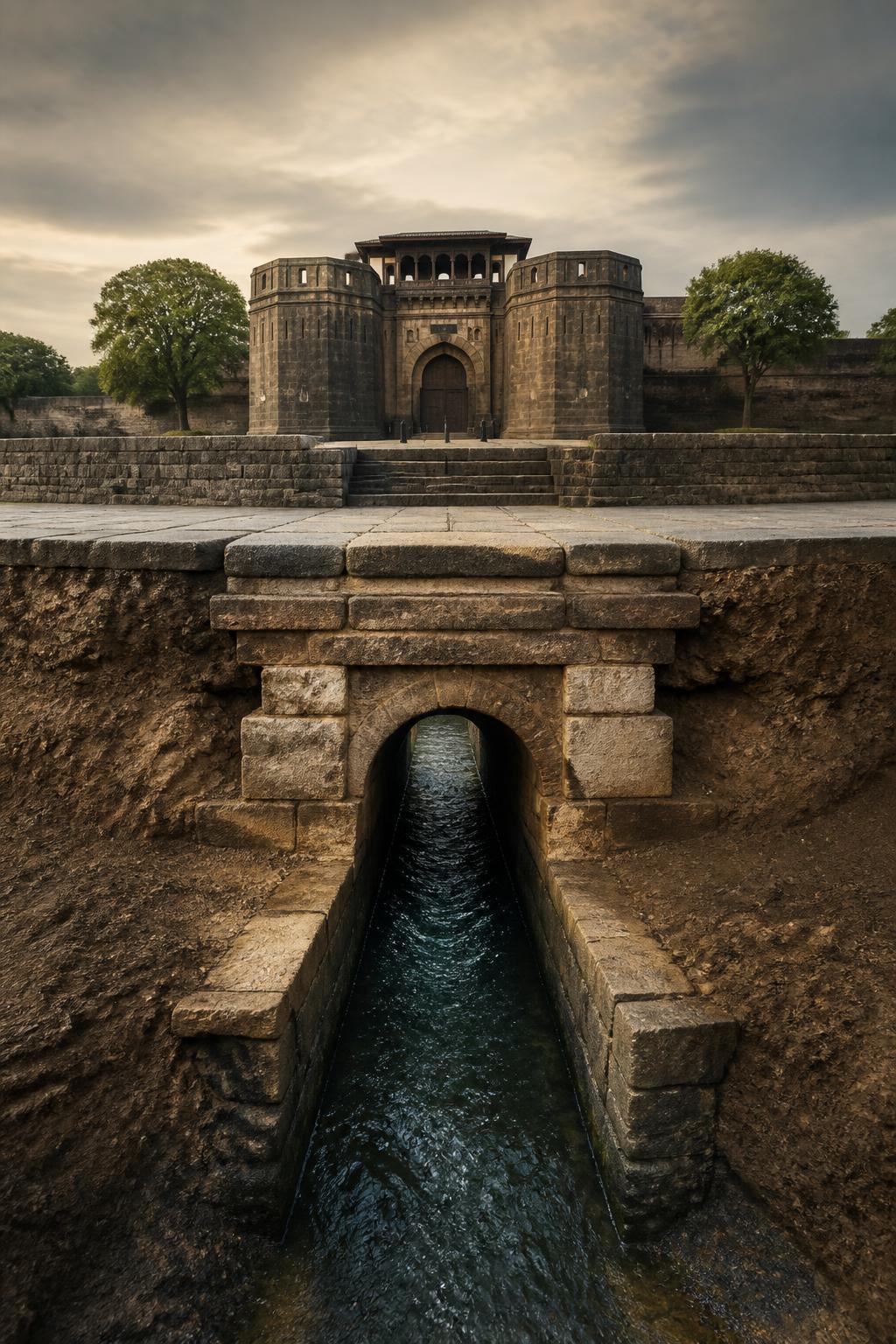
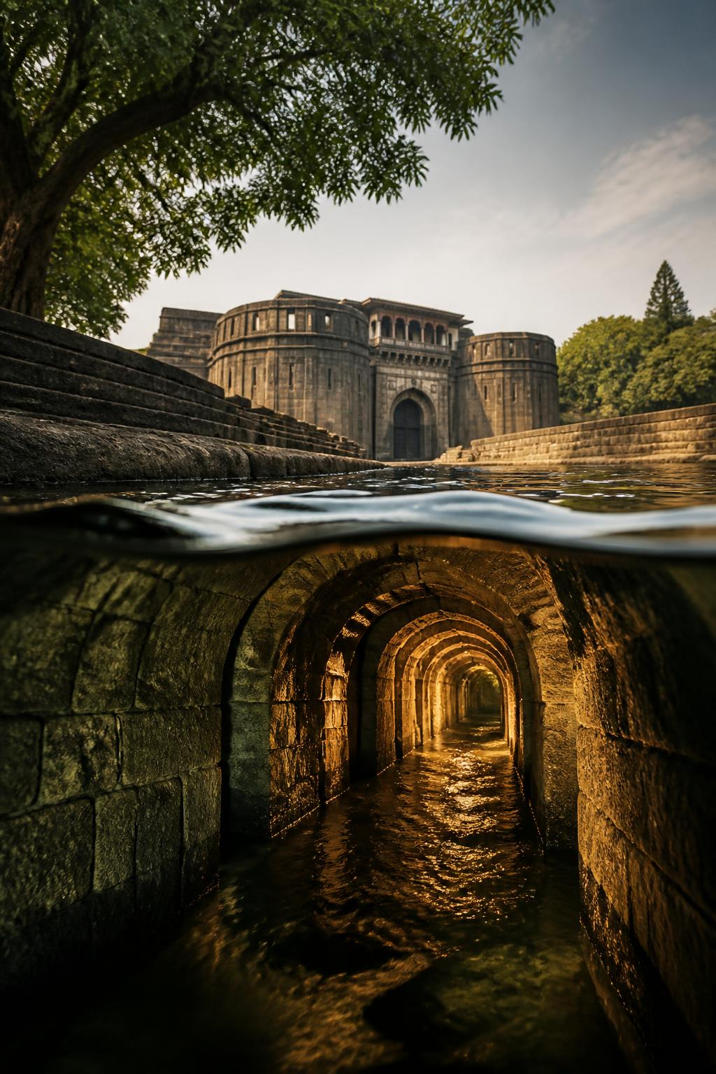
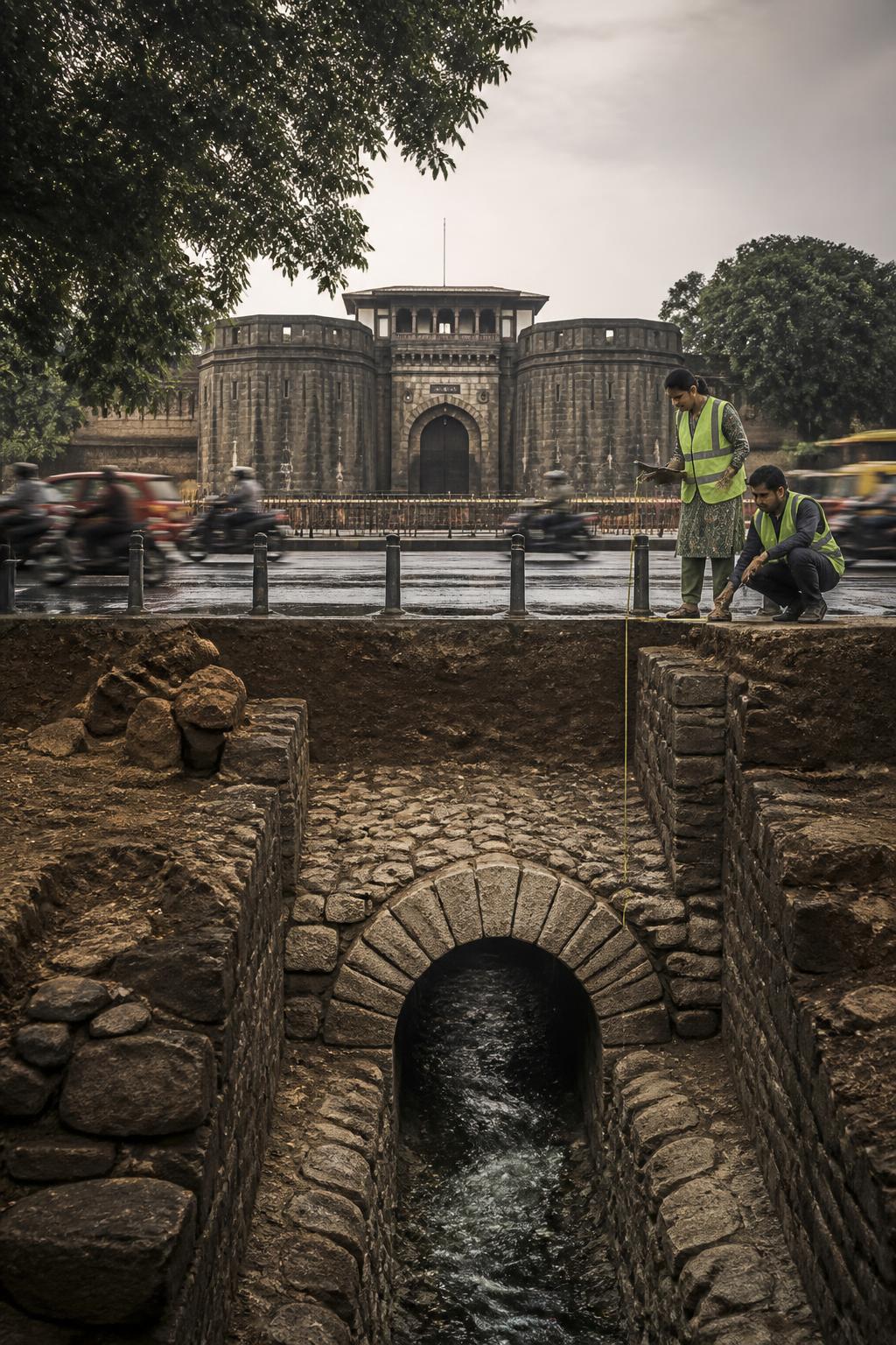
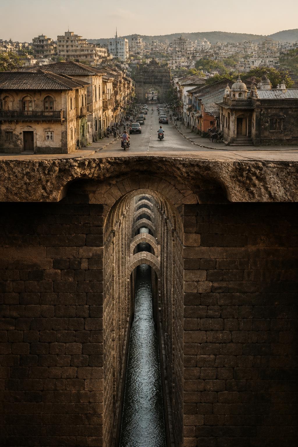
The system began at Katraj around 1750, when Nanasaheb Peshwa commissioned two stone masonry dams to collect runoff and spring water. From there, water entered a buried masonry channel—locally called a nal or nahar—and travelled north toward Shaniwar Wada and the surrounding peths. Shaniwar Wada was the Peshwa headquarters, making it the essential destination in this historic water route. What looks today like a set of separate landmarks—Katraj Lake, the old city and Shaniwar Wada—was once connected by an engineered water system beneath Pune.
The slope did the work
The aqueduct did not depend on modern pumping. It used Pune’s natural topography: a drop of more than 100 metres allowed water to flow north from Katraj toward the Mutha River. That simple principle shaped the entire system. Water settled in the reservoirs, entered the buried channel and moved along the gradient toward the historic city. The result was a gravity-fed network whose route was determined not only by buildings and streets, but by the land beneath them.
A tunnel large enough to walk through
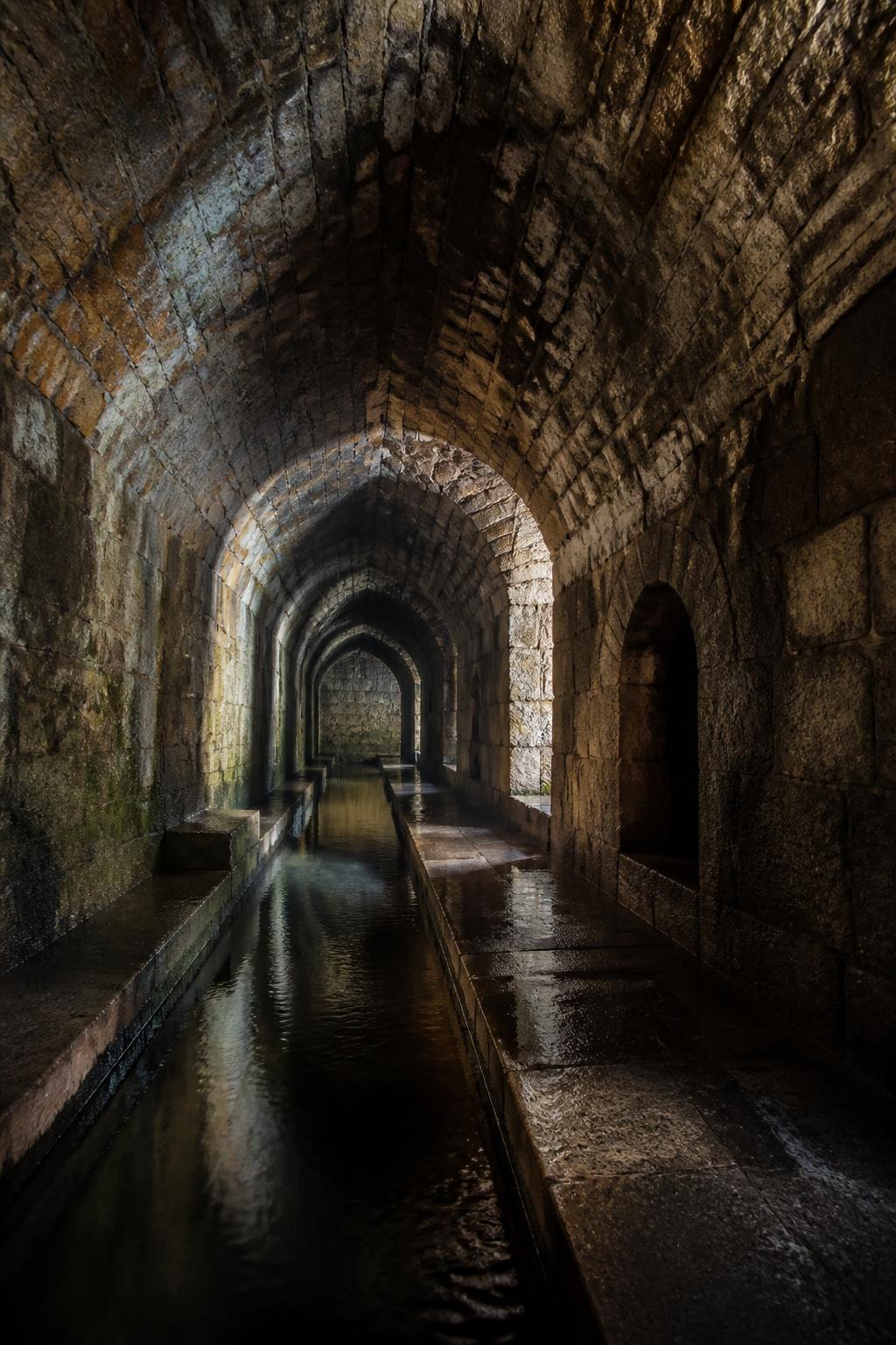
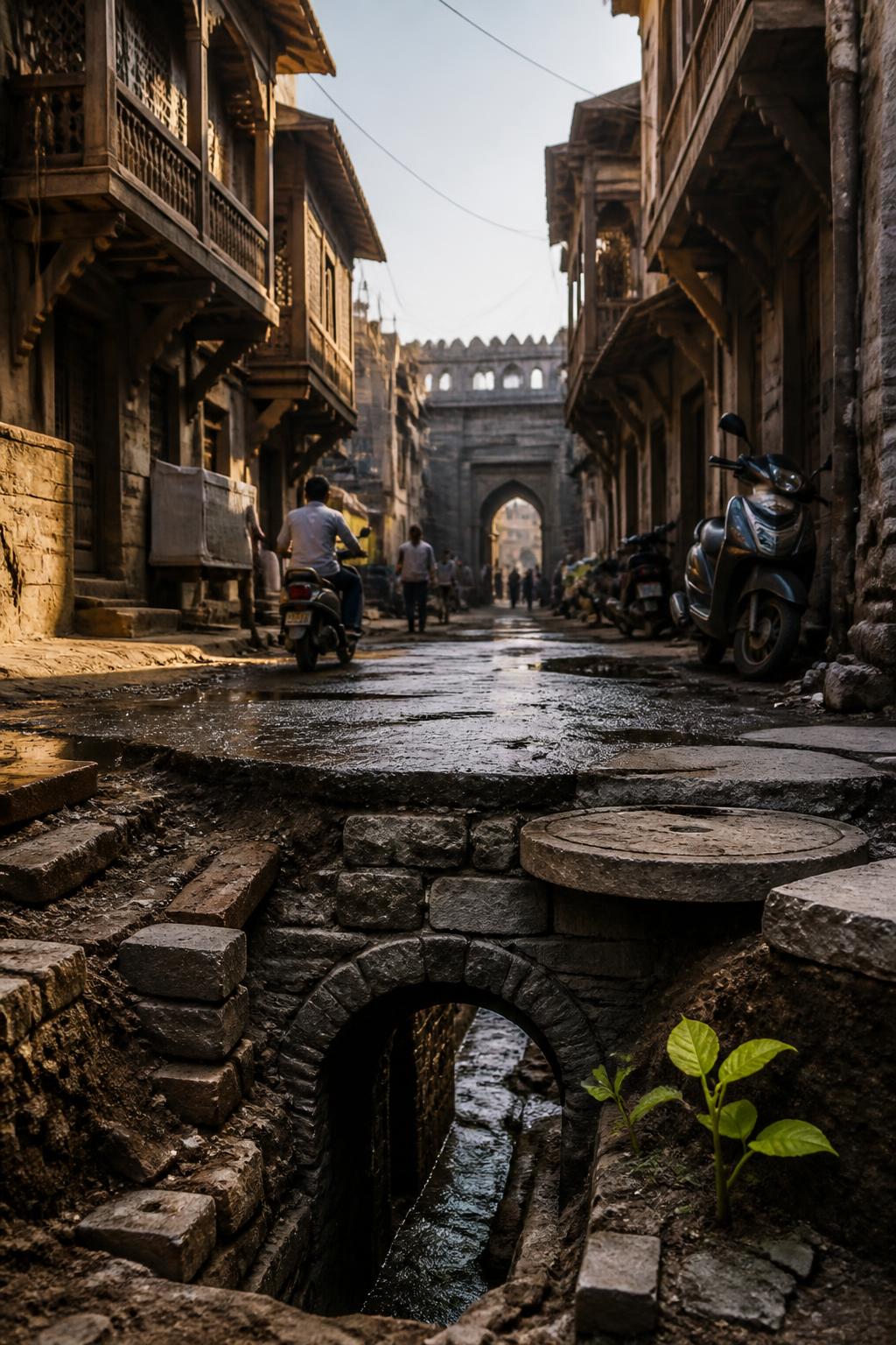
The buried aqueduct was approximately 2–3 metres below ground, about 80 centimetres wide and roughly 2 metres high. It was not merely a narrow pipe: parts of the channel were large enough for a person to walk through. The wider Peshwa-era network extended for more than 20 km and included over 200 outlets, cisterns and maintenance shafts. Small structures such as Kala Haud were therefore not necessarily isolated ponds. They could function as access or maintenance points into the underground system.