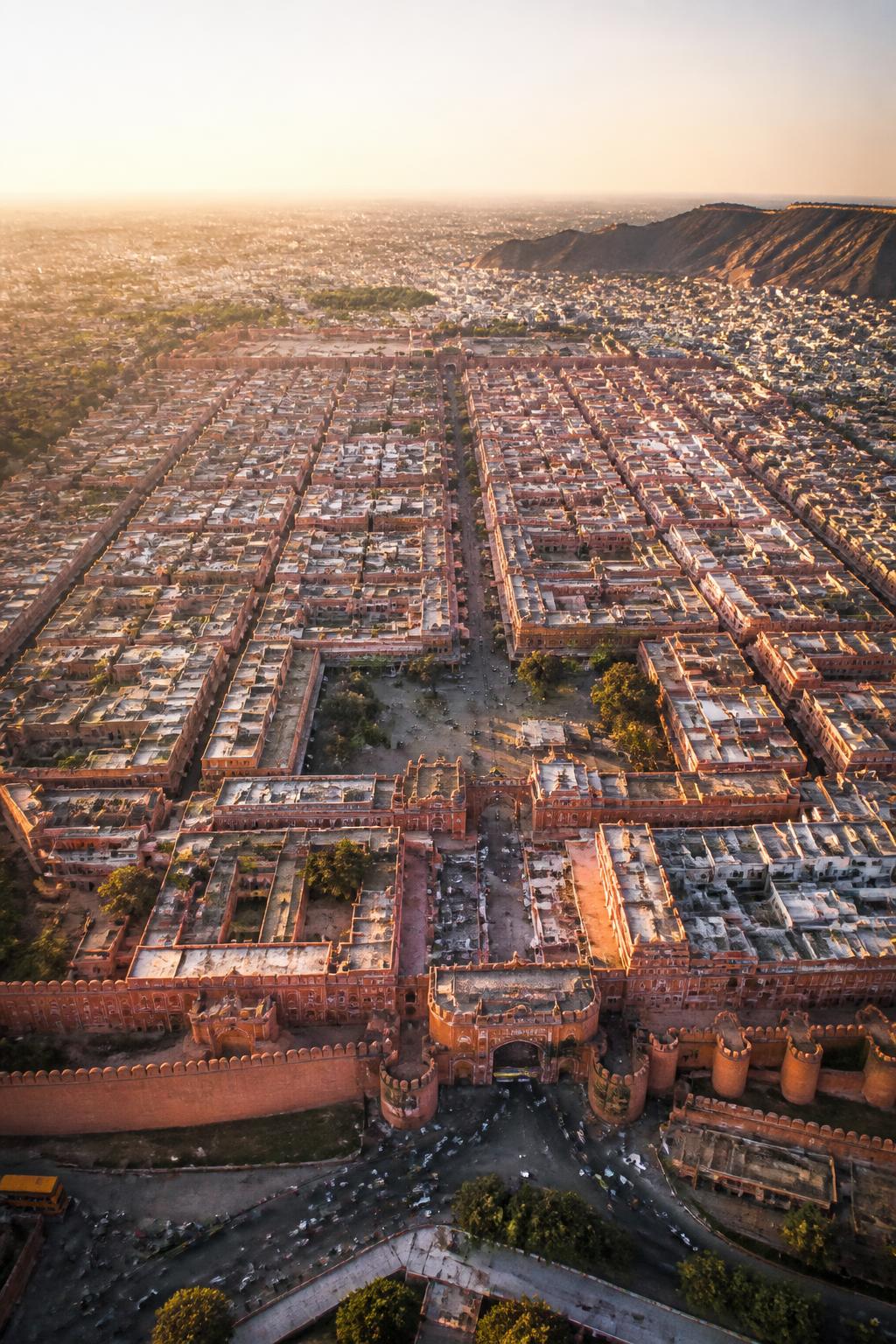
Jaipur had a second grid
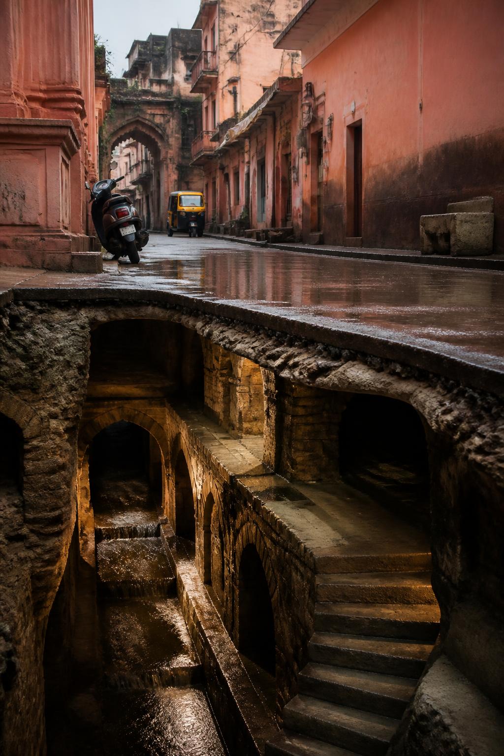
Jaipur is famous for its geometry: a walled city organized around broad streets, bazaars and prominent public squares. But that visible plan had a less obvious companion beneath it. The city’s 18th-century design included an underground water-supply system of canals and tanks, making the grid not only an urban arrangement but also a way to move and store water. The network belonged to the planned walled city, where public spaces and water infrastructure were closely connected. What looks today like a purely architectural order was also part of a larger system for managing water across the city.
Water entered through a planned network
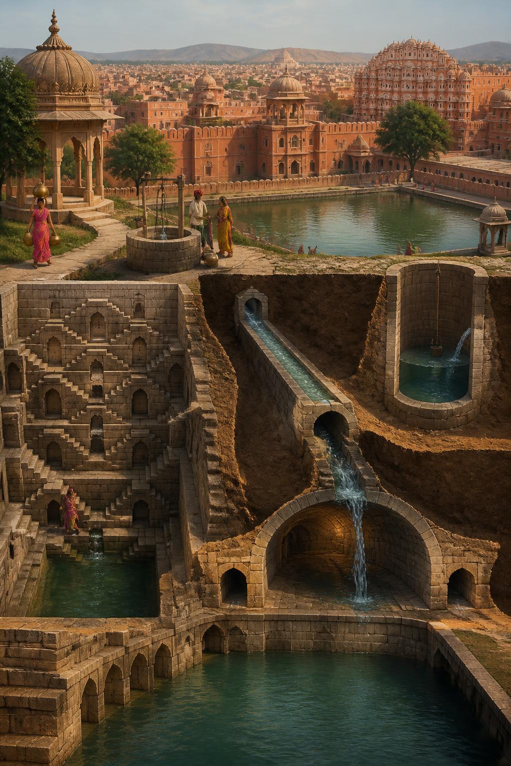
The first public water-supply network developed in the mid-18th century. Water from the Amanishah Nala and nearby catchments was brought into the walled city and distributed through a planned system rather than relying on one isolated source. Its components included canals, ponds, reservoirs, dams, kunds, wells, stepwells, channels and rainwater storage. Together, these structures formed a wider hydrological network: water could be moved, stored and passed onward through multiple connected forms. Jaipur’s water system was therefore larger than any single tank or canal—it was an urban infrastructure spread across the city.
The public squares once held water
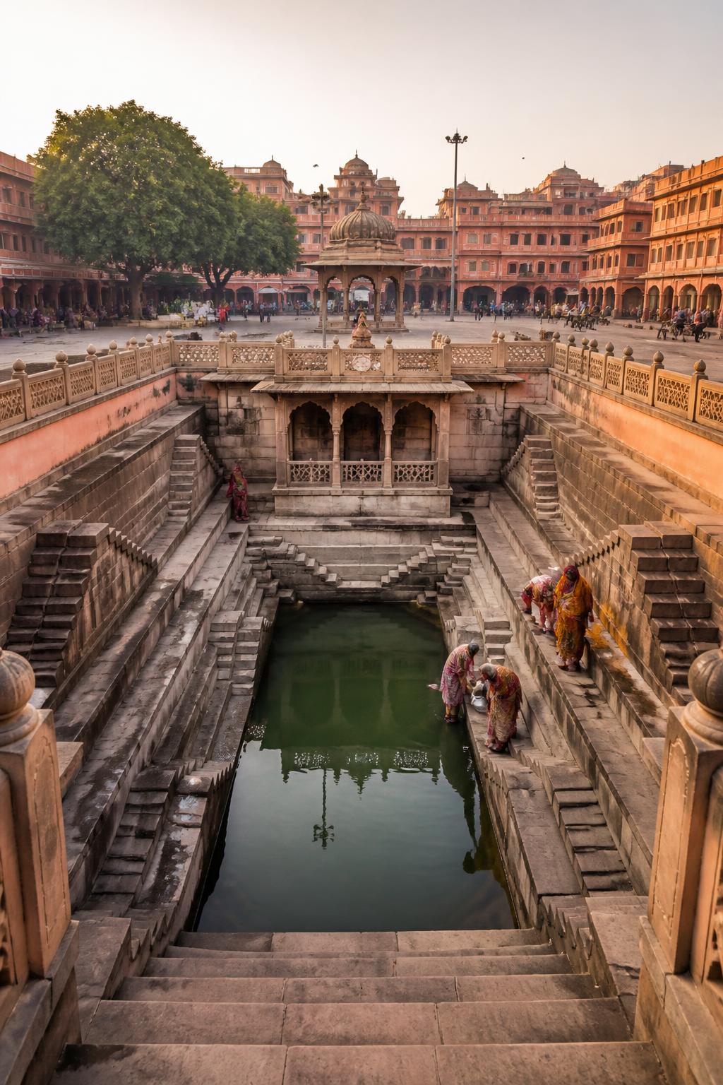
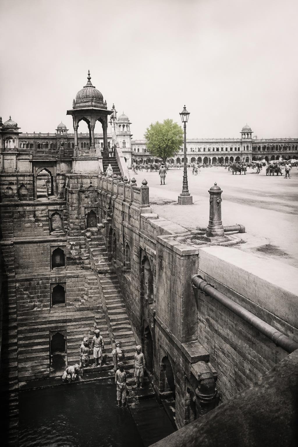
Chhoti Chaupar, Badi Chaupar and Ramganj are now recognized as major public spaces. In the older network, however, they were also linked to stepped tanks. Water was routed through these structures, where it could be stored before overflow continued toward Talkatora, Raja-Mal-ka-Talab and Man Sagar. That sequence gives the chaupars a second identity. They were not simply spaces for movement and gathering; they were points in a system that connected storage and overflow across Jaipur. The city’s most familiar squares were part of its water infrastructure.