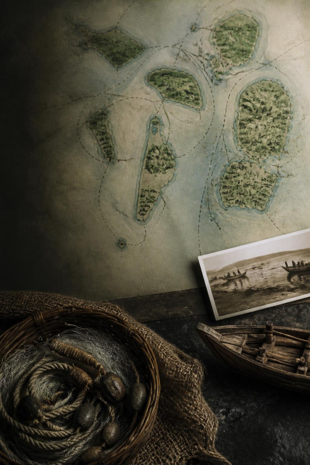
Mumbai began as an archipelago
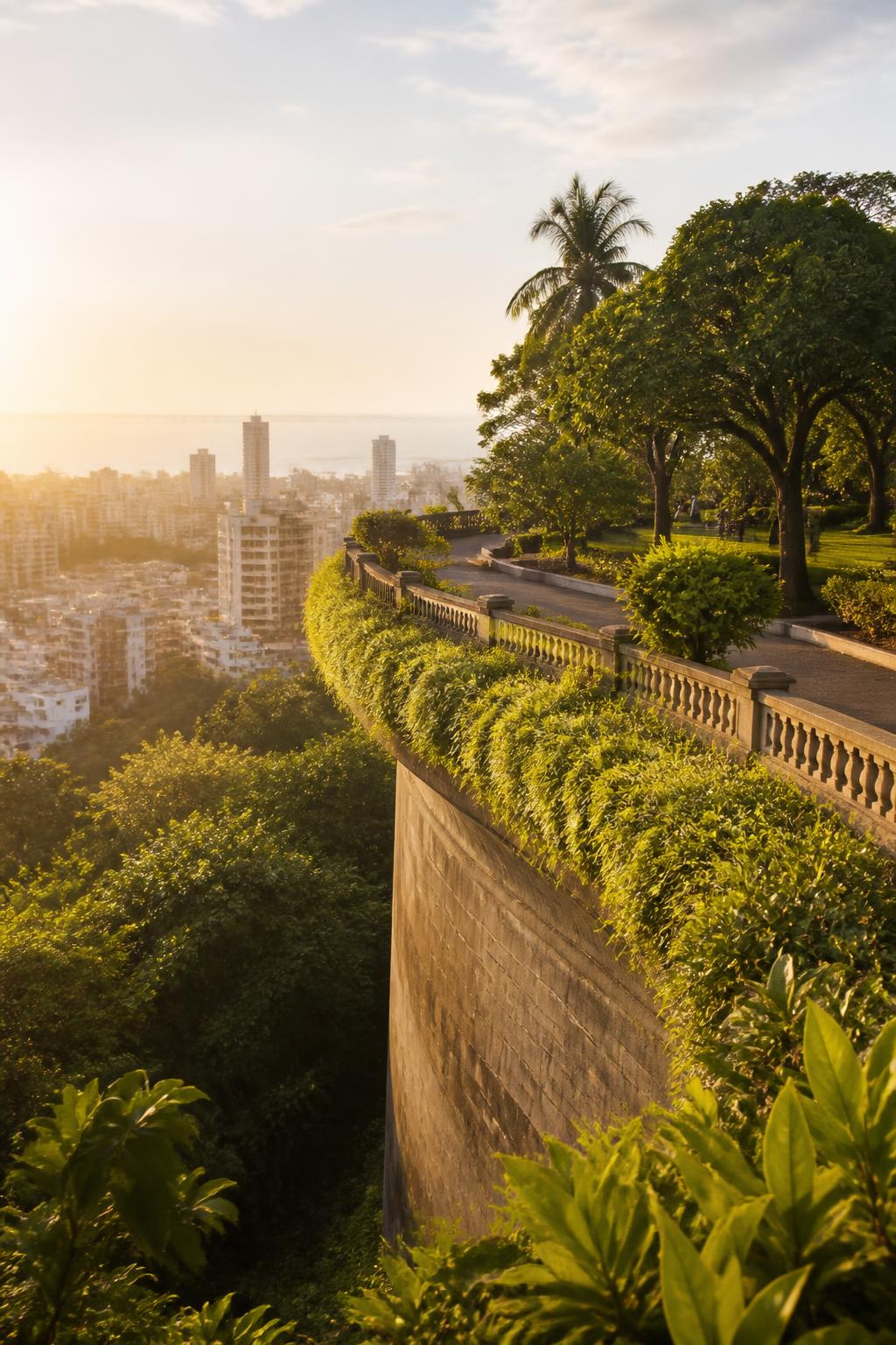
The city’s historic core was not one continuous landmass. It began as seven separate islands, with Koli fishing communities living across them. Historical maps held by the Bhau Daji Lad Museum trace this earlier landscape of islands, tidal inlets and settlements—an outline that makes the present-day waterfront look almost impossible to recognise. The Mumbai that residents cross today was assembled gradually, as projects changed the relationship between land and water.
The city grew by holding back the tide
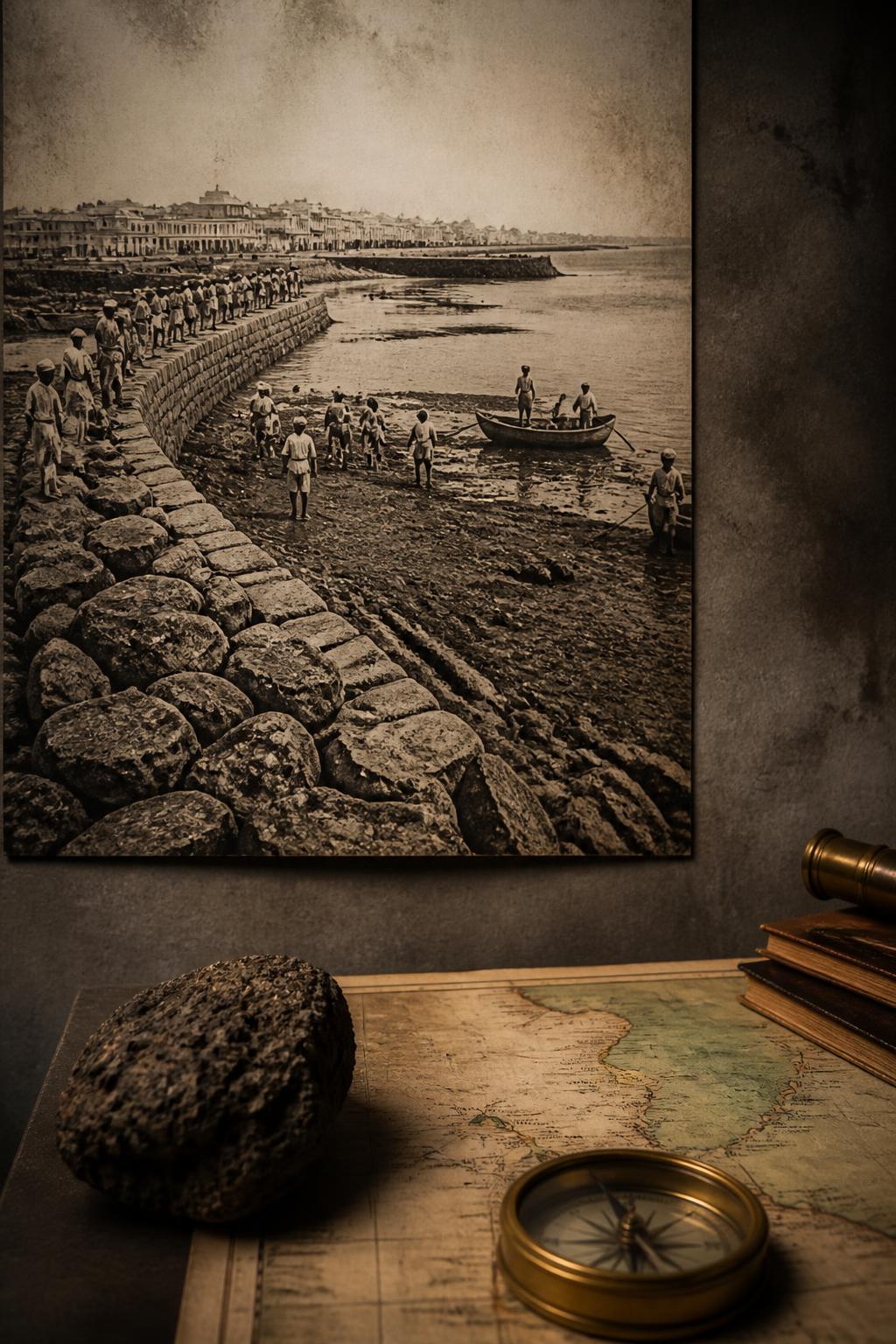
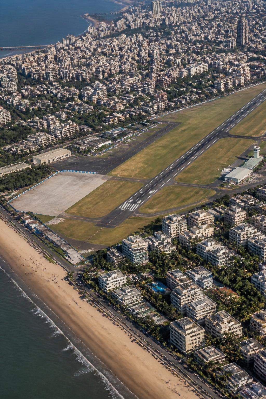
The Hornby Vellard project marked an important early stage in that transformation. By blocking tidal flows and reclaiming land, it connected parts of the islands and helped Bombay develop into a major port. The project was completed in 1845. It did not create the whole modern city, but it established a pattern that would define Bombay’s expansion: reshape the water’s edge, join previously separate areas and make new urban ground available.
Back Bay became the foundation of Marine Drive
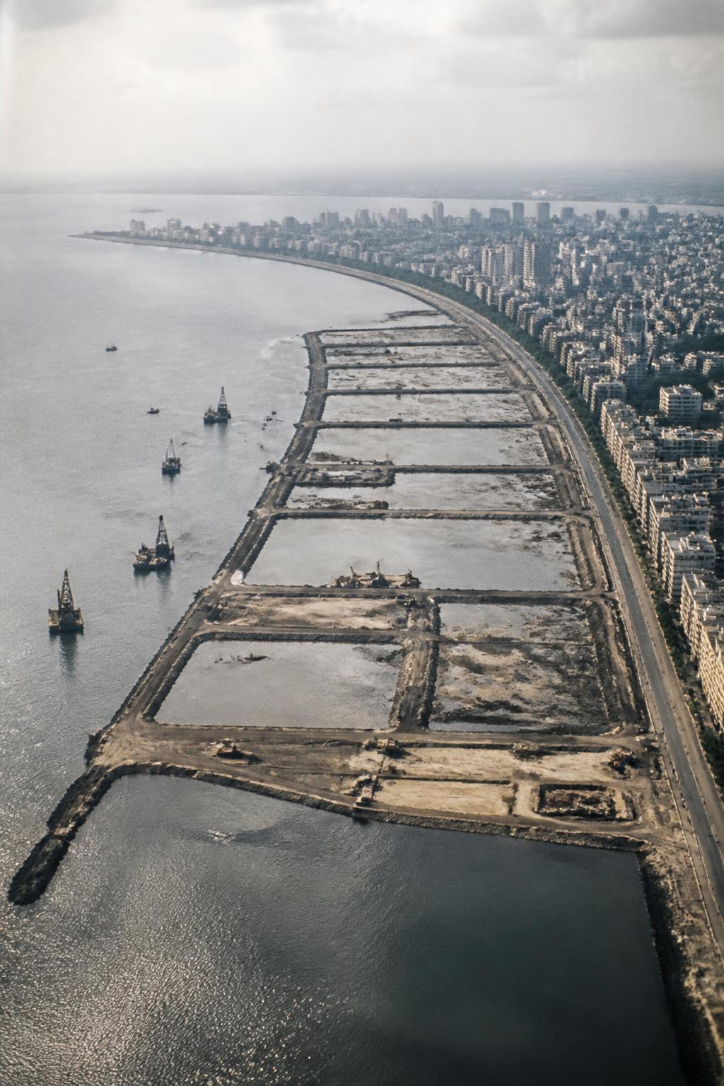
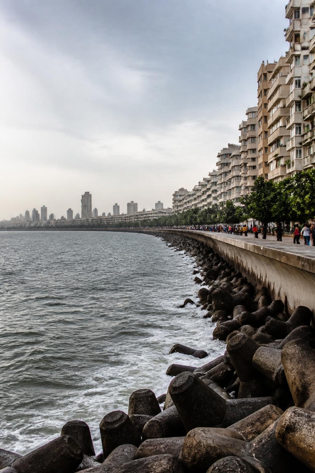
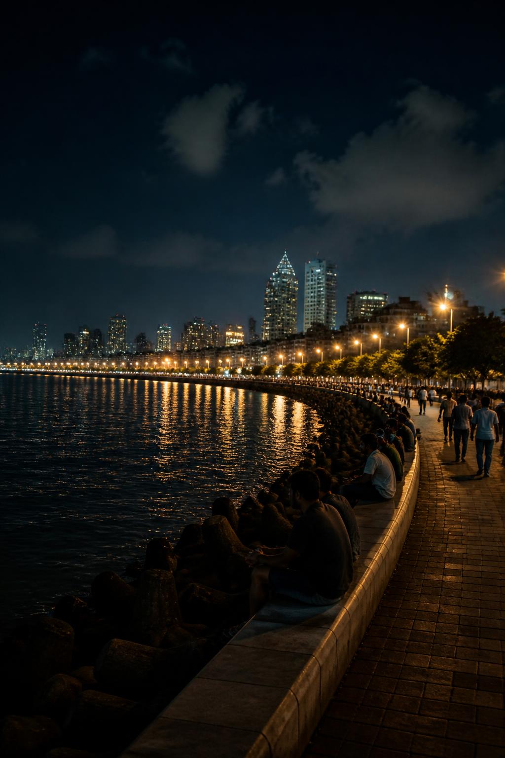
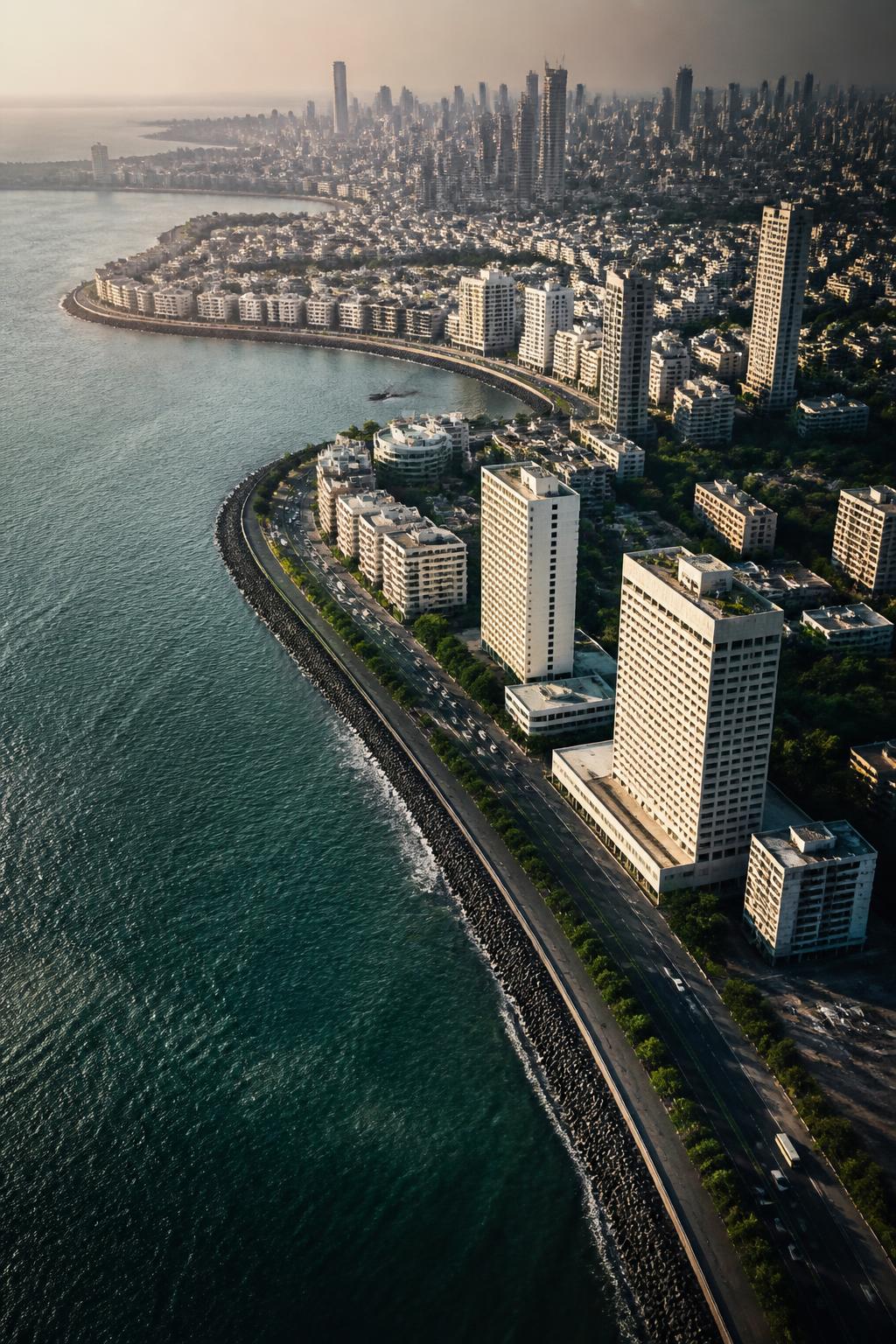
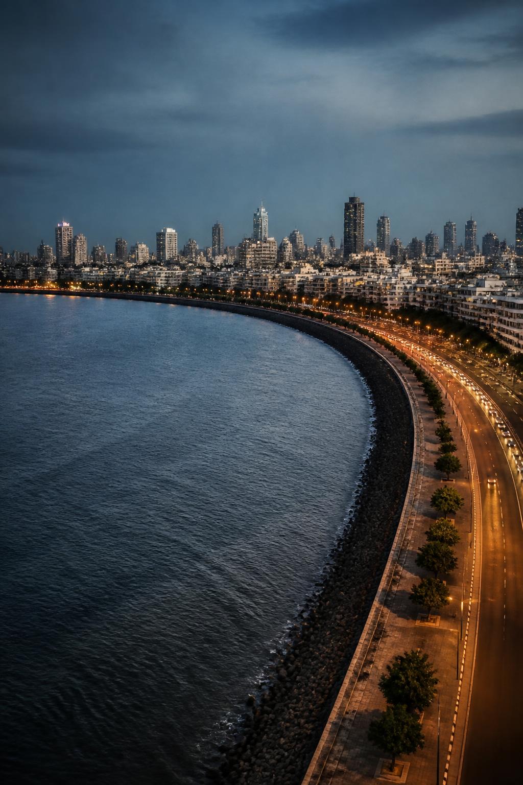
In the early 20th century, Bombay turned toward a much larger reclamation idea. The Backbay Reclamation Scheme planned to expand the city westward into the sea. UNESCO identifies this reclamation as the foundation for the Marine Drive seafront and the Art Deco residential, commercial and entertainment buildings behind it. The familiar promenade and skyline therefore belong to a later layer of Mumbai’s history—one built not on the older islands alone, but on land created in Back Bay.