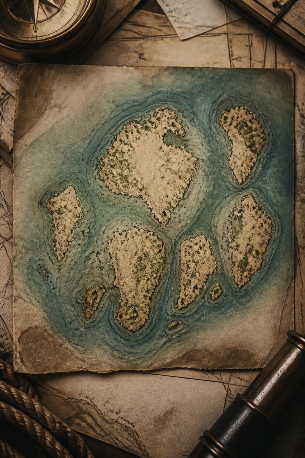
Mumbai began as islands, not one continuous city
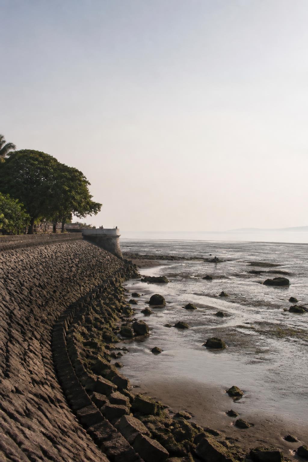
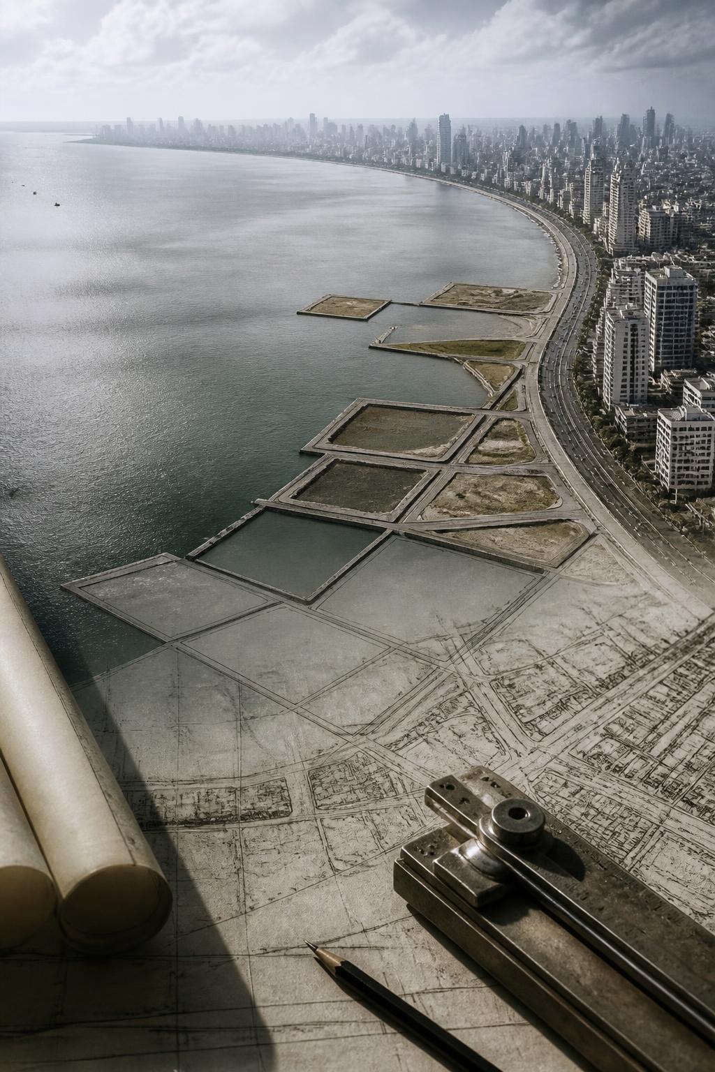
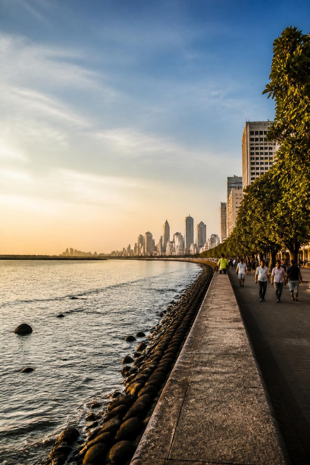
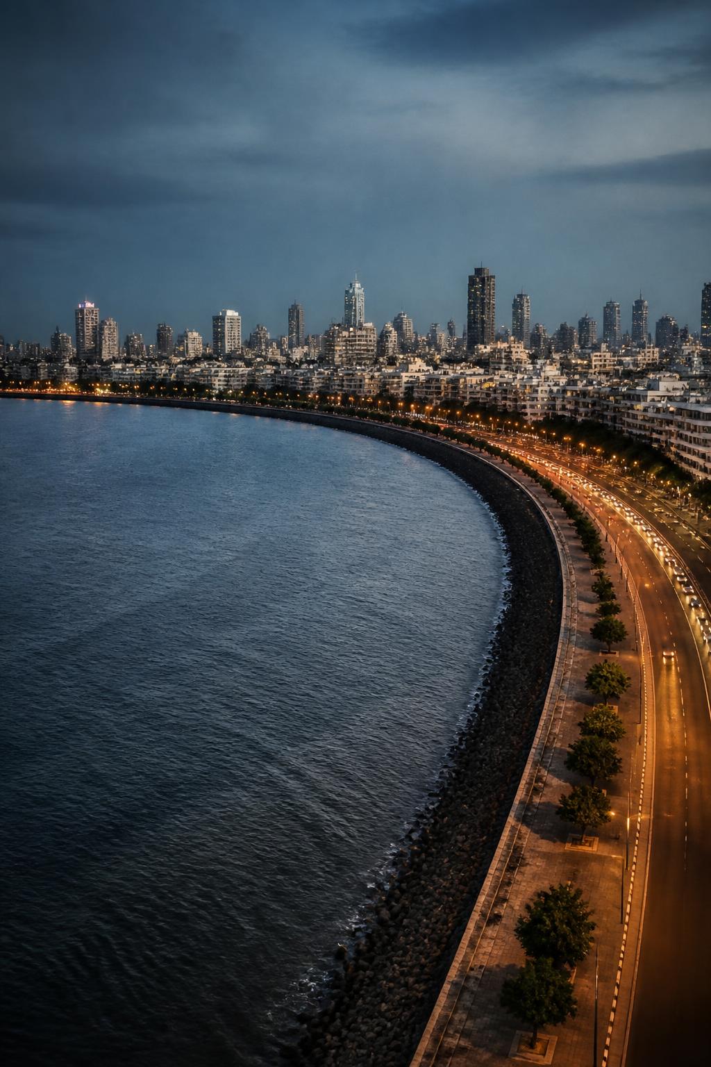
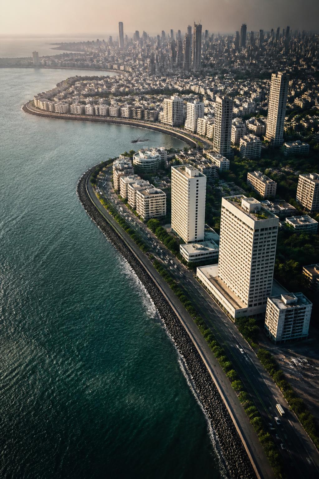
The historic core of Mumbai originally consisted of seven separate islands, including Bombay Island, Colaba, Mazagaon, Mahim, Worli and Parel. Their outlines did not remain fixed. Causeways, embankments and reclamation progressively joined them, turning an archipelago into the present Mumbai Island city. That history changes the way the western edge looks: what appears to be a clean urban shoreline is also a record of decisions about where land should end and water should begin.
The first great push against the tides
At Mahalaxmi, the Hornby Vellard was completed in 1784. It united Cumballa Hill with Worli and helped block tidal flooding into the low-lying areas between the islands. The intervention was more than a connection between places: it altered how water moved through the island landscape. Mumbai’s later growth would follow the same broad pattern—using built edges to make more ground available and to bring separate parts of the city together.
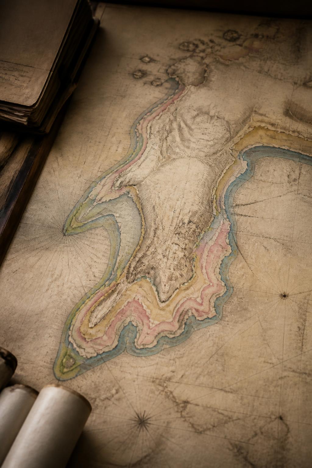
The city’s changing outline is visible on paper
A map by Captain Thomas Dickinson, held by the Bhau Daji Lad Mumbai City Museum, records land added through government reclamation projects between 1816 and 1890. It makes the city’s physical growth unusually legible. Instead of treating the shoreline as a permanent outline, the map shows it as something that changed over time. The islands were not merely connected; their edges were repeatedly extended, producing a city whose geography carries the marks of construction.